Cârţa night lights from space
Night Light of Cârţa (Harghita) from space (Romania) Src. Average luminocity for 10x10km area is 0.0057% and for 50x50km: 0.8588%.
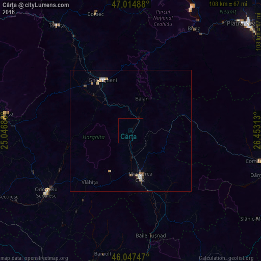
Analysis of Cârţa night lights 2016
Square area 10x10 km:
 0%
0%90-99
0%80-89
0%70-79
0%60-69
0%50-59
0%40-49
0%30-39
0%20-29
0%10-19
0%0-9
100%Square area 50x50 km:
0.14%90-99
0.09%80-89
0.15%70-79
0.07%60-69
0.12%50-59
0.12%40-49
0.11%30-39
0.08%20-29
0.09%10-19
0.09%0-9
98.94%Clear (daylight) street map image can be seen on geolist.org.
Map coordinates:
47° 0' 53.6" North, 25° 2' 48.8" East
46° 31' 60" North, 25° 45' 0" East
46° 2' 50.9" North, 26° 27' 11.3" East
Some cities around Cârţa sort by population:
• Miercurea-Ciuc
20.7 km =12.9 mi,  169°
169°
• Gheorgheni
24 km =14.9 mi,  331°
331°
• Bălan
13.8 km =8.6 mi,  18°
18°
• Siculeni
13 km =8.1 mi,  180°
180°
• Sândominic
6.1 km =3.8 mi, 22°
• Ghimeş-Făget
24.8 km =15.4 mi,  77°
77°
• Lunca de Jos
18.2 km =11.3 mi, 78°
• Suseni
21.3 km =13.2 mi,  314°
314°
681523 (p: 5,407)
Sources (retrieved 2019-11-25):
» Earth at Night: Flat Maps 2012, 2016