Variaş night lights from space
Night Light of Variaş (Timiş) from space (Romania) Src. Average luminocity for 10x10km area is 1.0881% and for 50x50km: 3.3076%.
Analysis of Variaş night lights 2016
Square area 10x10 km:
100  0%
0%
90-99 0%
80-89 0%
70-79 0%
60-69 0%
50-59 0.28%
40-49 0.71%
30-39 0.71%
20-29 0.57%
10-19 0%
0-9 97.73%
0%90-99
0%80-89
0%70-79
0%60-69
0%50-59
0.28%40-49
0.71%30-39
0.71%20-29
0.57%10-19
0%0-9
97.73%Square area 50x50 km:
100 0.21%
90-99 0.34%
80-89 0.27%
70-79 0.36%
60-69 0.59%
50-59 0.63%
40-49 0.52%
30-39 0.73%
20-29 1.15%
10-19 1.77%
0-9 93.43%
0.21%90-99
0.34%80-89
0.27%70-79
0.36%60-69
0.59%50-59
0.63%40-49
0.52%30-39
0.73%20-29
1.15%10-19
1.77%0-9
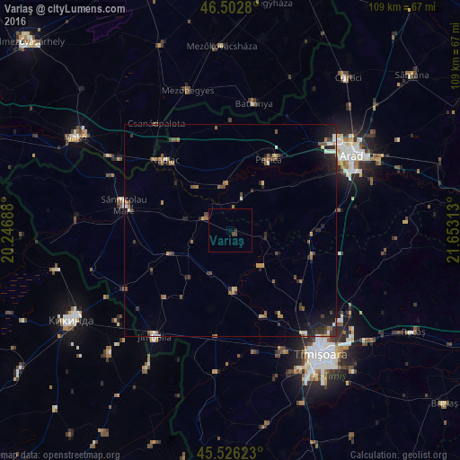
93.43%Clear (daylight) street map image can be seen on geolist.org.
Map coordinates:
46° 30' 10.1" North, 20° 14' 48.8" East
46° 1' 0" North, 20° 57' 0" East
45° 31' 34.4" North, 21° 39' 11.3" East
Some cities around Variaş sort by population:
• Pecica
19 km =11.8 mi,  28°
28°
• Lovrin
14.9 km =9.3 mi,  248°
248°
• Periam
7.4 km =4.6 mi,  299°
299°
• Vinga
19.3 km =12 mi,  90°
90°
• Biled
14.5 km =9 mi,  177°
177°
• Sânpetru Mare
10.6 km =6.6 mi,  287°
287°
• Secusigiu
7.8 km =4.8 mi,  19°
19°
• Felnac
19 km =11.8 mi,  54°
54°
663171 (p: 6,054)
Sources (retrieved 2019-11-25):
» Earth at Night: Flat Maps 2012, 2016