Truşeşti night lights from space
Night Light of Truşeşti (Botoşani) from space (Romania) Src. Average luminocity for 10x10km area is 0% and for 50x50km: 0.2203%.
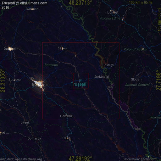
Analysis of Truşeşti night lights 2016
Square area 10x10 km:
 0%
0%90-99
0%80-89
0%70-79
0%60-69
0%50-59
0%40-49
0%30-39
0%20-29
0%10-19
0%0-9
100%Square area 50x50 km:
0%90-99
0.01%80-89
0.01%70-79
0.01%60-69
0.02%50-59
0.06%40-49
0.03%30-39
0.08%20-29
0.09%10-19
0.13%0-9
99.55%Clear (daylight) street map image can be seen on geolist.org.
Map coordinates:
48° 14' 13.7" North, 26° 18' 48.8" East
47° 46' 0" North, 27° 1' 0" East
47° 17' 30.9" North, 27° 43' 11.3" East
Some cities around Truşeşti sort by population:
• Botoşani
26.2 km =16.3 mi,  265°
265°
• Storeşti
26.6 km =16.5 mi,  204°
204°
• Săveni
23.3 km =14.5 mi,  331°
331°
• Copălău
21.6 km =13.4 mi,  219°
219°
• Ungureni-Jianu
21.7 km =13.5 mi,  306°
306°
• Albeşti
8.3 km =5.2 mi,  153°
153°
• Ştefăneşti-Sat
12.6 km =7.8 mi,  81°
81°
• Băluşeni
19.7 km =12.2 mi,  235°
235°
664578 (p: 5,748)
Sources (retrieved 2019-11-25):
» Earth at Night: Flat Maps 2012, 2016