Ştefăneşti-Sat night lights from space
Night Light of Ştefăneşti-Sat (Botoşani) from space (Romania) Src. Average luminocity for 10x10km area is 0% and for 50x50km: 0.0471%.
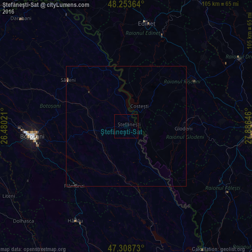
Analysis of Ştefăneşti-Sat night lights 2016
Square area 10x10 km:
 0%
0%90-99
0%80-89
0%70-79
0%60-69
0%50-59
0%40-49
0%30-39
0%20-29
0%10-19
0%0-9
100%Square area 50x50 km:
0%90-99
0%80-89
0%70-79
0%60-69
0.01%50-59
0.03%40-49
0%30-39
0.03%20-29
0.03%10-19
0%0-9
99.89%Clear (daylight) street map image can be seen on geolist.org.
Map coordinates:
48° 15' 13.1" North, 26° 28' 48.8" East
47° 46' 60" North, 27° 10' 60" East
47° 18' 31.4" North, 27° 53' 11.3" East
Some cities around Ştefăneşti-Sat sort by population:
• Glodeni, MD
25.1 km =15.6 mi,  92°
92°
• Săveni
30 km =18.6 mi,  308°
308°
• Copălău
32.1 km =19.9 mi,  234°
234°
• Ungureni-Jianu
31.9 km =19.8 mi,  290°
290°
• Albeşti
12.7 km =7.9 mi,  223°
223°
• Truşeşti
12.6 km =7.8 mi,  261°
261°
• Avrămeni
31.2 km =19.4 mi,  326°
326°
• Băluşeni
31.5 km =19.6 mi,  245°
245°
666217 (p: 5,607)
Sources (retrieved 2019-11-25):
» Earth at Night: Flat Maps 2012, 2016