Săveni night lights from space
Night Light of Săveni (Botoşani) from space (Romania) Src. Average luminocity for 10x10km area is 0.6705% and for 50x50km: 0.8995%.
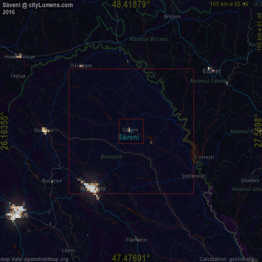
Analysis of Săveni night lights 2016
Square area 10x10 km:
 0%
0%90-99
0%80-89
0%70-79
0%60-69
0.28%50-59
0.85%40-49
0%30-39
0%20-29
0%10-19
0%0-9
98.86%Square area 50x50 km:
0.16%90-99
0.21%80-89
0.08%70-79
0.07%60-69
0.1%50-59
0.07%40-49
0.09%30-39
0.15%20-29
0.14%10-19
0.66%0-9
98.27%Clear (daylight) street map image can be seen on geolist.org.
Map coordinates:
48° 25' 7.6" North, 26° 9' 48.8" East
47° 57' 0" North, 26° 52' 0" East
47° 28' 36.9" North, 27° 34' 11.3" East
Some cities around Săveni sort by population:
• Botoşani
26.8 km =16.7 mi,  213°
213°
• Ungureni-Jianu
9.7 km =6 mi,  219°
219°
• Albeşti
31.6 km =19.6 mi,  151°
151°
• Truşeşti
23.3 km =14.5 mi, 151°
• Ştefăneşti-Sat
30 km =18.6 mi,  128°
128°
• Avrămeni
9.7 km =6 mi,  39°
39°
• Coţuşca
20.4 km =12.7 mi,  356°
356°
• Havârna
20.7 km =12.9 mi,  308°
308°
667757 (p: 8,126)
Sources (retrieved 2019-11-25):
» Earth at Night: Flat Maps 2012, 2016