Ungureni-Jianu night lights from space
Night Light of Ungureni-Jianu (Botoşani) from space (Romania) Src. Average luminocity for 10x10km area is 0% and for 50x50km: 1.0798%.
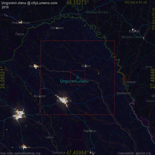
Analysis of Ungureni-Jianu night lights 2016
Square area 10x10 km:
 0%
0%90-99
0%80-89
0%70-79
0%60-69
0%50-59
0%40-49
0%30-39
0%20-29
0%10-19
0%0-9
100%Square area 50x50 km:
0.16%90-99
0.21%80-89
0.11%70-79
0.07%60-69
0.11%50-59
0.1%40-49
0.1%30-39
0.15%20-29
0.17%10-19
1.01%0-9
97.8%Clear (daylight) street map image can be seen on geolist.org.
Map coordinates:
48° 21' 9.8" North, 26° 4' 48.8" East
47° 52' 60" North, 26° 46' 60" East
47° 24' 34.7" North, 27° 29' 11.3" East
Some cities around Ungureni-Jianu sort by population:
• Botoşani
17.2 km =10.7 mi,  210°
210°
• Săveni
9.7 km =6 mi,  39°
39°
• Truşeşti
21.7 km =13.5 mi,  126°
126°
• Avrămeni
19.3 km =12 mi, 39°
• Coţuşca
28.2 km =17.5 mi,  10°
10°
• Bucecea
29.2 km =18.1 mi,  243°
243°
• Havârna
22.7 km =14.1 mi,  334°
334°
• Băluşeni
24.1 km =15 mi,  177°
177°
664215 (p: 6,948)
Sources (retrieved 2019-11-25):
» Earth at Night: Flat Maps 2012, 2016