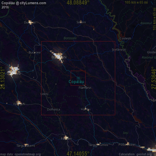
Copălău night lights from space
Night Light of Copălău (Botoşani) from space (Romania) Src. Average luminocity for 10x10km area is 0.0852% and for 50x50km: 1.1188%.
Analysis of Copălău night lights 2016
Square area 10x10 km:
 0%
0%90-99
0%80-89
0%70-79
0%60-69
0%50-59
0%40-49
0%30-39
0%20-29
0.28%10-19
0%0-9
99.72%Square area 50x50 km:
0.16%90-99
0.21%80-89
0.12%70-79
0.08%60-69
0.12%50-59
0.09%40-49
0.1%30-39
0.14%20-29
0.25%10-19
1.05%0-9
97.68%Clear (daylight) street map image can be seen on geolist.org.
Map coordinates:
48° 5' 18.6" North, 26° 7' 48.8" East
47° 37' 0" North, 26° 49' 60" East
47° 8' 26" North, 27° 32' 11.3" East
Some cities around Copălău sort by population:
• Botoşani
19.4 km =12.1 mi,  319°
319°
• Storeşti
7.8 km =4.8 mi,  161°
161°
• Deleni
17.1 km =10.6 mi,  167°
167°
• Vorona Teodoru
19 km =11.8 mi,  247°
247°
• Corni
19.1 km =11.9 mi,  281°
281°
• Frumuşica
10.5 km =6.5 mi,  151°
151°
• Tudora
18.7 km =11.6 mi,  233°
233°
• Băluşeni
6.1 km =3.8 mi,  335°
335°
680911 (p: 7,086)
Sources (retrieved 2019-11-25):
» Earth at Night: Flat Maps 2012, 2016