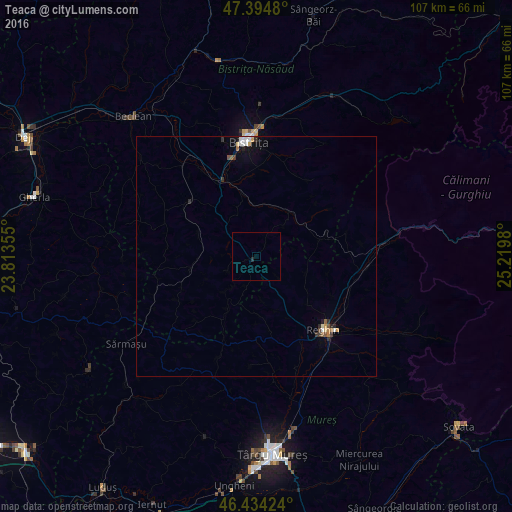
Teaca night lights from space
Night Light of Teaca (Bistriţa-Năsăud) from space (Romania) Src. Average luminocity for 10x10km area is 0.1607% and for 50x50km: 0.8484%.
Analysis of Teaca night lights 2016
Square area 10x10 km:
 0%
0%90-99
0%80-89
0%70-79
0%60-69
0%50-59
0%40-49
0%30-39
0%20-29
0.6%10-19
0%0-9
99.4%Square area 50x50 km:
0.13%90-99
0.11%80-89
0.1%70-79
0.1%60-69
0.07%50-59
0.12%40-49
0.05%30-39
0.16%20-29
0.2%10-19
0.3%0-9
98.66%Clear (daylight) street map image can be seen on geolist.org.
Map coordinates:
47° 23' 41.3" North, 23° 48' 48.8" East
46° 55' 0" North, 24° 31' 0" East
46° 26' 3.3" North, 25° 13' 11.3" East
Some cities around Teaca sort by population:
• Bistriţa
24.1 km =15 mi,  357°
357°
• Reghin-Sat
21.2 km =13.2 mi,  134°
134°
• Sărmaşu
32.4 km =20.1 mi,  235°
235°
• Gurghiu
30.3 km =18.8 mi,  123°
123°
• Lechinţa
16.8 km =10.4 mi,  311°
311°
• Gorneşti
29 km =18 mi,  159°
159°
• Ernei
35.9 km =22.3 mi, 164°
• Josenii Bârgăului
35.7 km =22.2 mi,  20°
20°
665371 (p: 5,954)
Sources (retrieved 2019-11-25):
» Earth at Night: Flat Maps 2012, 2016