Sărmaşu night lights from space
Night Light of Sărmaşu (Mureş) from space (Romania) Src. Average luminocity for 10x10km area is 0% and for 50x50km: 0.4899%.
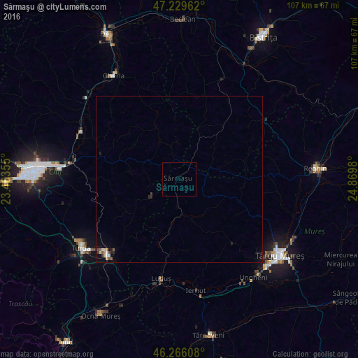
Analysis of Sărmaşu night lights 2016
Square area 10x10 km:
 0%
0%90-99
0%80-89
0%70-79
0%60-69
0%50-59
0%40-49
0%30-39
0%20-29
0%10-19
0%0-9
100%Square area 50x50 km:
0.02%90-99
0.08%80-89
0.07%70-79
0.07%60-69
0.01%50-59
0.09%40-49
0.09%30-39
0.05%20-29
0.09%10-19
0.25%0-9
99.18%Clear (daylight) street map image can be seen on geolist.org.
Map coordinates:
47° 13' 46.6" North, 23° 27' 48.8" East
46° 45' 0" North, 24° 10' 0" East
46° 15' 57.9" North, 24° 52' 11.3" East
Some cities around Sărmaşu sort by population:
• Câmpia Turzii
31 km =19.3 mi,  224°
224°
• Luduş
30.1 km =18.7 mi,  189°
189°
• Apahida
32.6 km =20.3 mi,  283°
283°
• Band
24.8 km =15.4 mi,  138°
138°
• Teaca
32.4 km =20.1 mi,  55°
55°
• Pănet
31.7 km =19.7 mi,  133°
133°
• Viişoara
29.3 km =18.2 mi, 220°
• Tritenii de Jos
22.5 km =14 mi,  214°
214°
667966 (p: 7,371)
Sources (retrieved 2019-11-25):
» Earth at Night: Flat Maps 2012, 2016