Gurghiu night lights from space
Night Light of Gurghiu (Mureş) from space (Romania) Src. Average luminocity for 10x10km area is 0% and for 50x50km: 1.2589%.
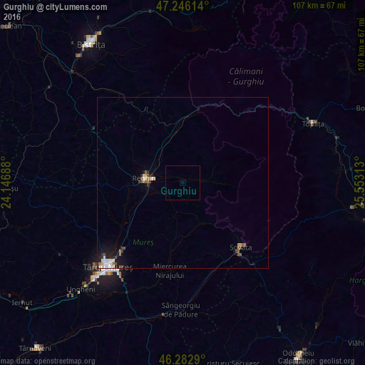
Analysis of Gurghiu night lights 2016
Square area 10x10 km:
 0%
0%90-99
0%80-89
0%70-79
0%60-69
0%50-59
0%40-49
0%30-39
0%20-29
0%10-19
0%0-9
100%Square area 50x50 km:
0.22%90-99
0.16%80-89
0.08%70-79
0.13%60-69
0.13%50-59
0.19%40-49
0.25%30-39
0.22%20-29
0.26%10-19
0.83%0-9
97.53%Clear (daylight) street map image can be seen on geolist.org.
Map coordinates:
47° 14' 46.1" North, 24° 8' 48.8" East
46° 46' 0" North, 24° 51' 0" East
46° 16' 58.4" North, 25° 33' 11.3" East
Some cities around Gurghiu sort by population:
• Reghin-Sat
10.3 km =6.4 mi,  280°
280°
• Sovata
26.2 km =16.3 mi,  140°
140°
• Sângeorgiu de Mureş
29.3 km =18.2 mi,  221°
221°
• Praid
32.4 km =20.1 mi, 138°
• Teaca
30.3 km =18.8 mi,  303°
303°
• Gorneşti
18.7 km =11.6 mi,  235°
235°
• Miercurea Nirajului
26.2 km =16.3 mi,  188°
188°
• Ernei
24 km =14.9 mi, 221°
676438 (p: 6,277)
Sources (retrieved 2019-11-25):
» Earth at Night: Flat Maps 2012, 2016