Bistriţa night lights from space
Night Light of Bistriţa (Bistriţa-Năsăud) from space (Romania) Src. Average luminocity for 10x10km area is 16.9915% and for 50x50km: 0.8623%.
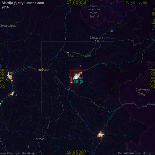
Analysis of Bistriţa night lights 2016
Square area 10x10 km:
 2.98%
2.98%90-99
2.7%80-89
2.84%70-79
2.7%60-69
0.71%50-59
2.27%40-49
0.57%30-39
0.99%20-29
1.42%10-19
11.22%0-9
71.59%Square area 50x50 km:
0.12%90-99
0.11%80-89
0.12%70-79
0.13%60-69
0.05%50-59
0.09%40-49
0.09%30-39
0.09%20-29
0.17%10-19
0.46%0-9
98.55%Clear (daylight) street map image can be seen on geolist.org.
Map coordinates:
47° 36' 33.6" North, 23° 47' 49.2" East
47° 7' 59.4" North, 24° 30' 0.4" East
46° 39' 9.6" North, 25° 12' 11.7" East
Some cities around Bistriţa sort by population:
• Beclean
24.6 km =15.3 mi,  283°
283°
• Năsăud
18.3 km =11.4 mi,  335°
335°
• Feldru
18.3 km =11.4 mi,  24°
24°
• Teaca
24.1 km =15 mi,  177°
177°
• Lechinţa
17.2 km =10.7 mi,  221°
221°
• Nimigea de Sus
21.7 km =13.5 mi,  320°
320°
• Căianu Mic
28.7 km =17.8 mi,  292°
292°
• Josenii Bârgăului
16.7 km =10.4 mi,  56°
56°
684657 (p: 81,318)
Sources (retrieved 2019-11-25):
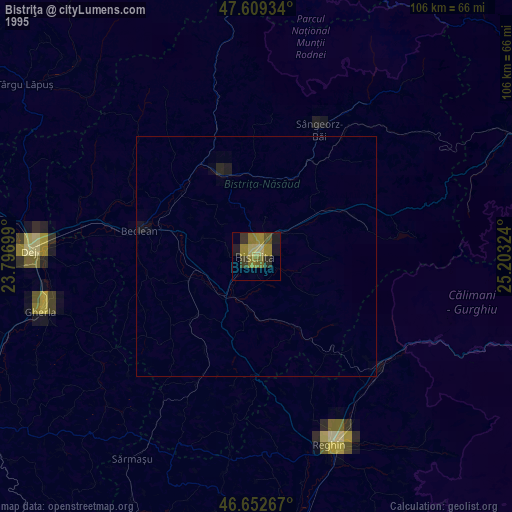
» NASA, Earths city lights 1995
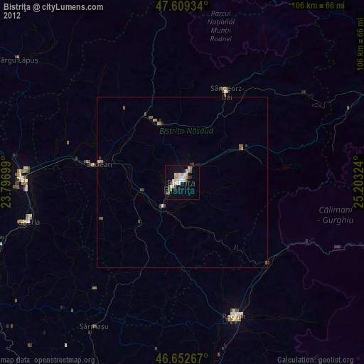
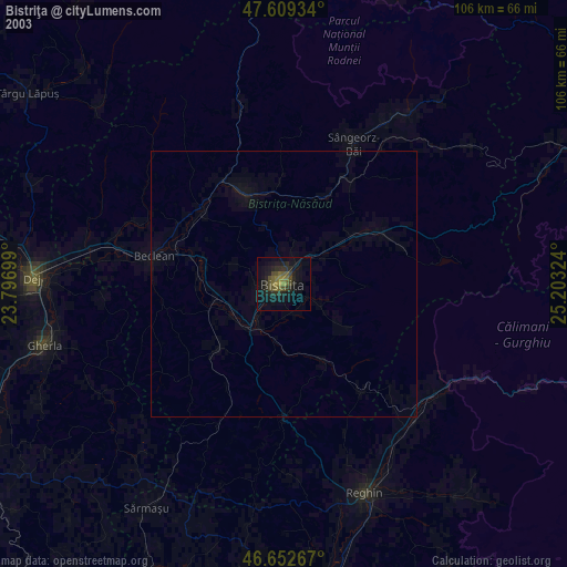
» NASA city lights 2003
» Earth at Night: Flat Maps 2012, 2016