Slatina night lights from space
Night Light of Slatina (Olt) from space (Romania) Src. Average luminocity for 10x10km area is 28.4889% and for 50x50km: 1.4959%.
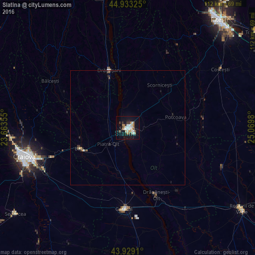
Analysis of Slatina night lights 2016
Square area 10x10 km:
 5.71%
5.71%90-99
6.35%80-89
1.9%70-79
2.7%60-69
4.76%50-59
1.75%40-49
1.43%30-39
2.86%20-29
3.49%10-19
34.6%0-9
34.44%Square area 50x50 km:
0.22%90-99
0.27%80-89
0.1%70-79
0.15%60-69
0.19%50-59
0.15%40-49
0.09%30-39
0.23%20-29
0.28%10-19
1.5%0-9
96.82%Clear (daylight) street map image can be seen on geolist.org.
Map coordinates:
44° 55' 59.7" North, 23° 39' 48.8" East
44° 25' 60" North, 24° 22' 0" East
43° 55' 44.8" North, 25° 4' 11.3" East
Some cities around Slatina sort by population:
• Drăgăşani
25.4 km =15.8 mi,  341°
341°
• Balş
23.1 km =14.4 mi,  246°
246°
• Scorniceşti
20.8 km =12.9 mi,  44°
44°
• Drăgăneşti-Olt
32.5 km =20.2 mi,  155°
155°
• Piatra Olt
10.9 km =6.8 mi,  226°
226°
• Potcoava
23.2 km =14.4 mi,  76°
76°
• Osica de Sus
20.8 km =12.9 mi,  191°
191°
• Fărcaşele
31.9 km =19.8 mi,  170°
170°
666767 (p: 78,988)
Sources (retrieved 2019-11-25):
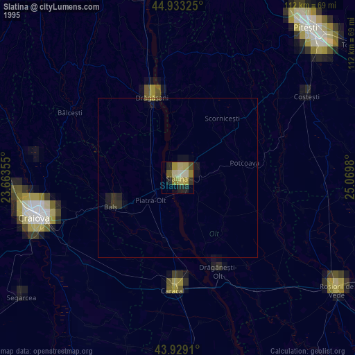
» NASA, Earths city lights 1995
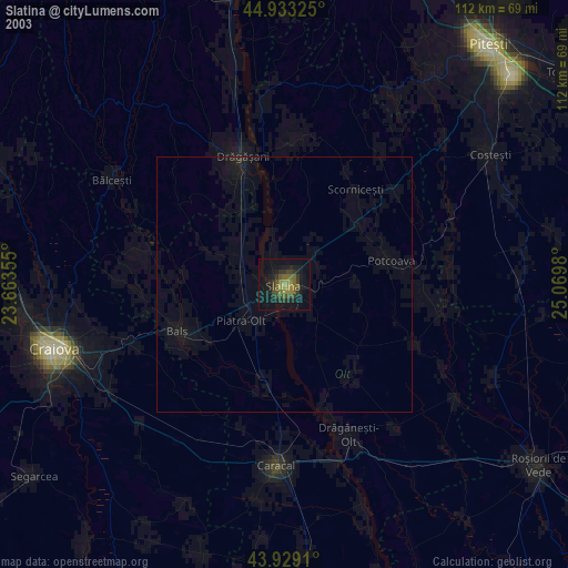
» NASA city lights 2003
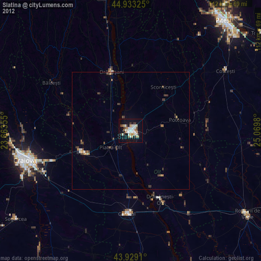
» Earth at Night: Flat Maps 2012, 2016