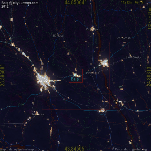
Balş night lights from space
Night Light of Balş (Olt) from space (Romania) Src. Average luminocity for 10x10km area is 4.5286% and for 50x50km: 4.4192%.
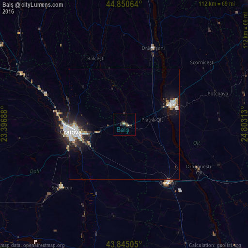
Analysis of Balş night lights 2016
Square area 10x10 km:
 0%
0%90-99
0.63%80-89
0.63%70-79
1.11%60-69
0.16%50-59
1.11%40-49
0.79%30-39
2.06%20-29
0.79%10-19
0%0-9
92.7%Square area 50x50 km:
0.81%90-99
0.99%80-89
0.41%70-79
0.28%60-69
0.46%50-59
0.33%40-49
0.5%30-39
0.69%20-29
1.44%10-19
3.13%0-9
90.96%Clear (daylight) street map image can be seen on geolist.org.
Map coordinates:
44° 51' 2.3" North, 23° 23' 48.8" East
44° 21' 0" North, 24° 6' 0" East
43° 50' 42.2" North, 24° 48' 11.3" East
Some cities around Balş sort by population:
• Craiova
24.1 km =15 mi,  261°
261°
• Slatina
23.1 km =14.4 mi,  66°
66°
• Piatra Olt
13.4 km =8.3 mi,  82°
82°
• Podari
27.5 km =17.1 mi,  246°
246°
• Bălceşti
31.9 km =19.8 mi,  338°
338°
• Leu
20.2 km =12.6 mi,  203°
203°
• Osica de Sus
20.5 km =12.7 mi,  122°
122°
• Coşoveni
17.3 km =10.7 mi,  230°
230°
685586 (p: 20,626)
Sources (retrieved 2019-11-25):
» Earth at Night: Flat Maps 2012, 2016