Piatra Olt night lights from space
Night Light of Piatra Olt (Olt) from space (Romania) Src. Average luminocity for 10x10km area is 0.6508% and for 50x50km: 1.5637%.
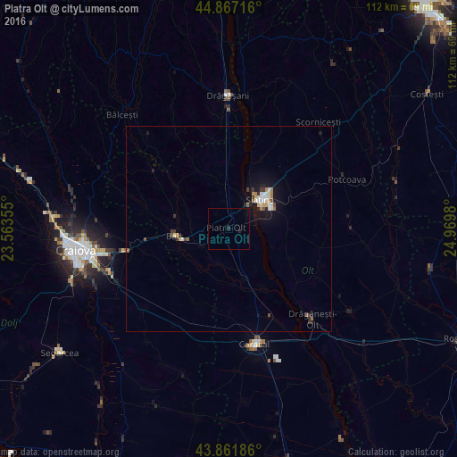
Analysis of Piatra Olt night lights 2016
Square area 10x10 km:
 0%
0%90-99
0%80-89
0%70-79
0%60-69
0%50-59
0%40-49
0%30-39
0%20-29
0.63%10-19
0.63%0-9
98.73%Square area 50x50 km:
0.22%90-99
0.27%80-89
0.1%70-79
0.15%60-69
0.24%50-59
0.15%40-49
0.14%30-39
0.24%20-29
0.28%10-19
1.51%0-9
96.71%Clear (daylight) street map image can be seen on geolist.org.
Map coordinates:
44° 52' 1.8" North, 23° 33' 48.8" East
44° 22' 0" North, 24° 16' 0" East
43° 51' 42.7" North, 24° 58' 11.3" East
Some cities around Piatra Olt sort by population:
• Slatina
10.9 km =6.8 mi,  46°
46°
• Caracal
28.6 km =17.8 mi,  166°
166°
• Balş
13.4 km =8.3 mi,  262°
262°
• Drăgăneşti-Olt
30.7 km =19.1 mi,  136°
136°
• Leu
29.4 km =18.3 mi,  226°
226°
• Osica de Sus
13.6 km =8.5 mi,  162°
162°
• Fărcaşele
27.5 km =17.1 mi,  151°
151°
• Coşoveni
29.5 km =18.3 mi,  243°
243°
670888 (p: 6,313)
Sources (retrieved 2019-11-25):
» Earth at Night: Flat Maps 2012, 2016