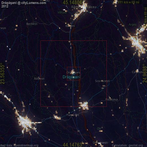
Drăgăşani night lights from space
Night Light of Drăgăşani (Vâlcea) from space (Romania) Src. Average luminocity for 10x10km area is 3.8409% and for 50x50km: 0.8676%.
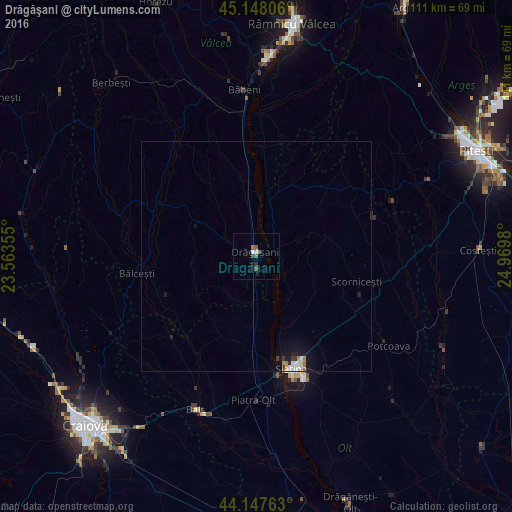
Analysis of Drăgăşani night lights 2016
Square area 10x10 km:
 0.61%
0.61%90-99
0.61%80-89
0%70-79
0%60-69
0%50-59
2.42%40-49
0.61%30-39
0.61%20-29
0.61%10-19
1.21%0-9
93.33%Square area 50x50 km:
0.17%90-99
0.16%80-89
0.04%70-79
0.05%60-69
0.13%50-59
0.1%40-49
0.06%30-39
0.14%20-29
0.12%10-19
0.82%0-9
98.22%Clear (daylight) street map image can be seen on geolist.org.
Map coordinates:
45° 8' 53" North, 23° 33' 48.8" East
44° 39' 0" North, 24° 16' 0" East
44° 8' 51.5" North, 24° 58' 11.3" East
Some cities around Drăgăşani sort by population:
• Slatina
25.4 km =15.8 mi,  161°
161°
• Balş
35.9 km =22.3 mi,  201°
201°
• Scorniceşti
24.3 km =15.1 mi,  112°
112°
• Băbeni
35.3 km =21.9 mi,  355°
355°
• Poiana Lacului
41.3 km =25.7 mi,  63°
63°
• Piatra Olt
31.5 km =19.6 mi,  180°
180°
• Potcoava
35.6 km =22.1 mi,  121°
121°
• Bălceşti
25.3 km =15.7 mi,  261°
261°
678978 (p: 20,630)
Sources (retrieved 2019-11-25):
» Earth at Night: Flat Maps 2012, 2016