Bereşti-Tazlău night lights from space
Night Light of Bereşti-Tazlău (Bacău) from space (Romania) Src. Average luminocity for 10x10km area is 1.2088% and for 50x50km: 3.1692%.
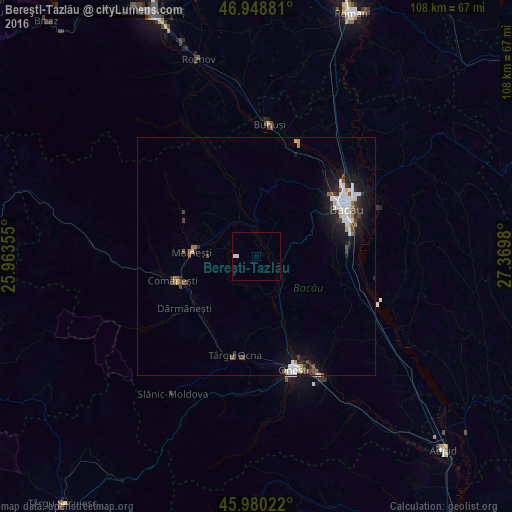
Analysis of Bereşti-Tazlău night lights 2016
Square area 10x10 km:
 0%
0%90-99
1.14%80-89
0%70-79
0%60-69
0%50-59
0%40-49
0%30-39
0%20-29
0%10-19
0%0-9
98.86%Square area 50x50 km:
0.56%90-99
0.69%80-89
0.37%70-79
0.14%60-69
0.2%50-59
0.28%40-49
0.48%30-39
0.47%20-29
0.61%10-19
2.64%0-9
93.55%Clear (daylight) street map image can be seen on geolist.org.
Map coordinates:
46° 56' 55.7" North, 25° 57' 48.8" East
46° 28' 0" North, 26° 40' 0" East
45° 58' 48.8" North, 27° 22' 11.3" East
Some cities around Bereşti-Tazlău sort by population:
• Moineşti
13.6 km =8.5 mi,  274°
274°
• Dărmăneşti
17.9 km =11.1 mi,  231°
231°
• Poduri
10.2 km =6.3 mi, 270°
• Helegiu
14.5 km =9 mi,  153°
153°
• Pârjol
13.9 km =8.6 mi,  338°
338°
• Gura Văii
15.7 km =9.8 mi,  160°
160°
• Berzunţi
7.8 km =4.8 mi,  199°
199°
• Livezi-Vale
7.5 km =4.7 mi,  137°
137°
685025 (p: 5,661)
Sources (retrieved 2019-11-25):
» Earth at Night: Flat Maps 2012, 2016