Ploieşti night lights from space
Night Light of Ploieşti (Prahova) from space (Romania) Src. Average luminocity for 10x10km area is 65.2873% and for 50x50km: 7.5262%.
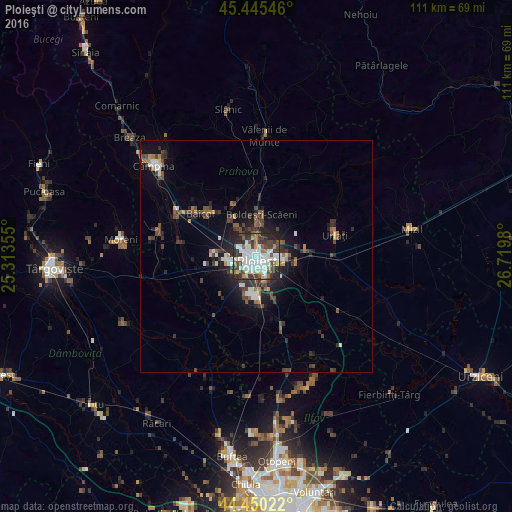
Analysis of Ploieşti night lights 2016
Square area 10x10 km:
 20.48%
90-99
18.89%80-89
5.08%70-79
3.02%60-69
5.71%50-59
4.29%40-49
10.95%30-39
14.92%20-29
14.44%10-19
2.22%0-9
0%Square area 50x50 km:
1.17%90-99
1.28%80-89
0.39%70-79
0.41%60-69
0.87%50-59
1%40-49
1.83%30-39
1.73%20-29
2.42%10-19
4.37%0-9
84.55%Clear (daylight) street map image can be seen on geolist.org.
Map coordinates:
45° 26' 43.7" North, 25° 18' 48.8" East
44° 57' 0" North, 26° 1' 0" East
44° 27' 0.8" North, 26° 43' 11.3" East
Some cities around Ploieşti sort by population:
• Boldeşti-Scăeni
9.4 km =5.8 mi,  8°
8°
• Valea Călugărească
10.7 km =6.6 mi,  79°
79°
• Bucov
5.6 km =3.5 mi,  70°
70°
• Bărcăneşti
7.9 km =4.9 mi,  160°
160°
• Brazii de Sus
9.3 km =5.8 mi,  180°
180°
• Blejoi
5.6 km =3.5 mi,  0°
0°
• Berceni
8.1 km =5 mi,  103°
103°
• Păuleşti
6.1 km =3.8 mi,  334°
334°
670474 (p: 228,851)
Sources (retrieved 2019-11-25):
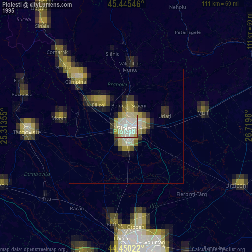
» NASA, Earths city lights 1995
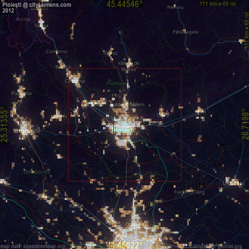
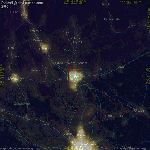
» NASA city lights 2003
» Earth at Night: Flat Maps 2012, 2016