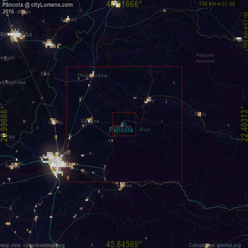
Pâncota night lights from space
Night Light of Pâncota (Arad) from space (Romania) Src. Average luminocity for 10x10km area is 0.631% and for 50x50km: 1.2314%.
Analysis of Pâncota night lights 2016
Square area 10x10 km:
 0%
0%90-99
0%80-89
0%70-79
0%60-69
0%50-59
0%40-49
0.6%30-39
0.45%20-29
0.3%10-19
0.45%0-9
98.21%Square area 50x50 km:
0.04%90-99
0.06%80-89
0.07%70-79
0.17%60-69
0.21%50-59
0.37%40-49
0.22%30-39
0.26%20-29
0.46%10-19
0.84%0-9
97.31%Clear (daylight) street map image can be seen on geolist.org.
Map coordinates:
46° 48' 60" North, 20° 59' 48.8" East
46° 19' 60" North, 21° 42' 0" East
45° 50' 44.5" North, 22° 24' 11.3" East
Some cities around Pâncota sort by population:
• Sântana
15.5 km =9.6 mi,  276°
276°
• Lipova
27 km =16.8 mi,  180°
180°
• Vladimirescu
29.6 km =18.4 mi,  231°
231°
• Ineu
15.5 km =9.6 mi,  43°
43°
• Curtici
30.8 km =19.1 mi,  273°
273°
• Chişineu-Criş
25.5 km =15.8 mi,  326°
326°
• Şiria
9 km =5.6 mi,  214°
214°
• Târnova
7.9 km =4.9 mi,  103°
103°
670794 (p: 7,133)
Sources (retrieved 2019-11-25):
» Earth at Night: Flat Maps 2012, 2016