Ghimeş-Făget night lights from space
Night Light of Ghimeş-Făget (Bacău) from space (Romania) Src. Average luminocity for 10x10km area is 0% and for 50x50km: 0.3376%.
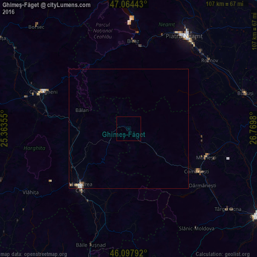
Analysis of Ghimeş-Făget night lights 2016
Square area 10x10 km:
 0%
0%90-99
0%80-89
0%70-79
0%60-69
0%50-59
0%40-49
0%30-39
0%20-29
0%10-19
0%0-9
100%Square area 50x50 km:
0.08%90-99
0.04%80-89
0.05%70-79
0.02%60-69
0.01%50-59
0.08%40-49
0.03%30-39
0.07%20-29
0.05%10-19
0.06%0-9
99.51%Clear (daylight) street map image can be seen on geolist.org.
Map coordinates:
47° 3' 51.9" North, 25° 21' 48.8" East
46° 34' 60" North, 26° 4' 0" East
46° 5' 52.5" North, 26° 46' 11.3" East
Some cities around Ghimeş-Făget sort by population:
• Asău
30.5 km =19 mi,  123°
123°
• Bălan
21.1 km =13.1 mi,  290°
290°
• Siculeni
30.5 km =19 mi,  232°
232°
• Agăş
16 km =9.9 mi,  134°
134°
• Sândominic
21.9 km =13.6 mi,  270°
270°
• Cârţa
24.8 km =15.4 mi,  257°
257°
• Zemeş
26.7 km =16.6 mi,  90°
90°
• Lunca de Jos
6.6 km =4.1 mi,  253°
253°
677377 (p: 5,248)
Sources (retrieved 2019-11-25):
» Earth at Night: Flat Maps 2012, 2016