Sândominic night lights from space
Night Light of Sândominic (Harghita) from space (Romania) Src. Average luminocity for 10x10km area is 0.0767% and for 50x50km: 0.7288%.
Analysis of Sândominic night lights 2016
Square area 10x10 km:
 0%
0%90-99
0%80-89
0%70-79
0%60-69
0%50-59
0%40-49
0%30-39
0%20-29
0%10-19
0.57%0-9
99.43%Square area 50x50 km:
0.12%90-99
0.07%80-89
0.13%70-79
0.07%60-69
0.12%50-59
0.11%40-49
0.07%30-39
0.06%20-29
0.08%10-19
0.09%0-9
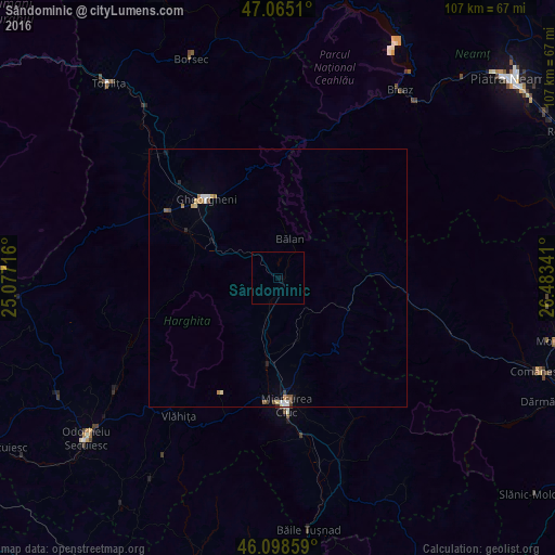
99.08%Clear (daylight) street map image can be seen on geolist.org.
Map coordinates:
47° 3' 54.4" North, 25° 4' 37.8" East
46° 35' 2.4" North, 25° 46' 49" East
46° 5' 54.9" North, 26° 29' 0.3" East
Some cities around Sândominic sort by population:
• Gheorgheni
20.7 km =12.9 mi,  318°
318°
• Bălan
7.7 km =4.8 mi,  16°
16°
• Siculeni
18.7 km =11.6 mi,  187°
187°
• Joseni
25 km =15.5 mi,  301°
301°
• Cârţa
6.1 km =3.8 mi,  202°
202°
• Ghimeş-Făget
21.9 km =13.6 mi,  90°
90°
• Lunca de Jos
15.6 km =9.7 mi,  97°
97°
• Suseni
19.8 km =12.3 mi, 297°
667055 (p: 6,306)
Sources (retrieved 2019-11-25):
» Earth at Night: Flat Maps 2012, 2016