Filiaşi night lights from space
Night Light of Filiaşi (Dolj) from space (Romania) Src. Average luminocity for 10x10km area is 5.2762% and for 50x50km: 2.2951%.
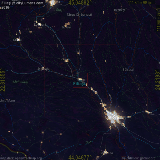
Analysis of Filiaşi night lights 2016
Square area 10x10 km:
 0%
0%90-99
0%80-89
0.63%70-79
1.9%60-69
0.48%50-59
1.59%40-49
0.63%30-39
1.43%20-29
1.75%10-19
1.43%0-9
90.16%Square area 50x50 km:
0.34%90-99
0.39%80-89
0.15%70-79
0.36%60-69
0.28%50-59
0.27%40-49
0.22%30-39
0.36%20-29
0.94%10-19
1.36%0-9
95.33%Clear (daylight) street map image can be seen on geolist.org.
Map coordinates:
45° 2' 56.1" North, 22° 48' 48.8" East
44° 33' 0" North, 23° 31' 0" East
44° 2' 48.4" North, 24° 13' 11.3" East
Some cities around Filiaşi sort by population:
• Craiova
34.3 km =21.3 mi,  139°
139°
• Strehaia
26.2 km =16.3 mi,  286°
286°
• Turceni
19 km =11.8 mi,  321°
321°
• Plopşoru
29.1 km =18.1 mi,  333°
333°
• Podari
39.5 km =24.5 mi,  147°
147°
• Corcova
40.5 km =25.2 mi, 294°
• Bălceşti
35.1 km =21.8 mi,  77°
77°
• Ţicleni
38.2 km =23.7 mi,  346°
346°
678261 (p: 18,995)
Sources (retrieved 2019-11-25):
» Earth at Night: Flat Maps 2012, 2016