Craiova night lights from space
Night Light of Craiova (Dolj) from space (Romania) Src. Average luminocity for 10x10km area is 66.2381% and for 50x50km: 5.025%.
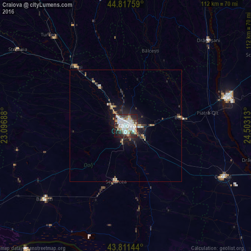
Analysis of Craiova night lights 2016
Square area 10x10 km:
 20.63%
90-99
23.81%80-89
4.6%70-79
3.02%60-69
4.92%50-59
4.92%40-49
6.98%30-39
6.51%20-29
17.46%10-19
6.83%0-9
0.32%Square area 50x50 km:
0.85%90-99
1.09%80-89
0.49%70-79
0.39%60-69
0.49%50-59
0.44%40-49
0.53%30-39
0.85%20-29
1.97%10-19
3.18%0-9
89.72%Clear (daylight) street map image can be seen on geolist.org.
Map coordinates:
44° 49' 3.3" North, 23° 5' 48.8" East
44° 19' 0" North, 23° 48' 0" East
43° 48' 41.2" North, 24° 30' 11.3" East
Some cities around Craiova sort by population:
• Balş
24.1 km =15 mi,  81°
81°
• Filiaşi
34.3 km =21.3 mi,  319°
319°
• Segarcea
24.4 km =15.2 mi,  189°
189°
• Podari
7.5 km =4.7 mi, 190°
• Valea Stanciului
37.4 km =23.2 mi,  171°
171°
• Bălceşti
35.4 km =22 mi,  19°
19°
• Leu
21.8 km =13.5 mi,  132°
132°
• Coşoveni
12.9 km =8 mi,  124°
124°
680332 (p: 304,142)
Sources (retrieved 2019-11-25):
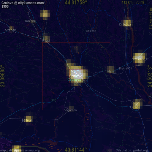
» NASA, Earths city lights 1995
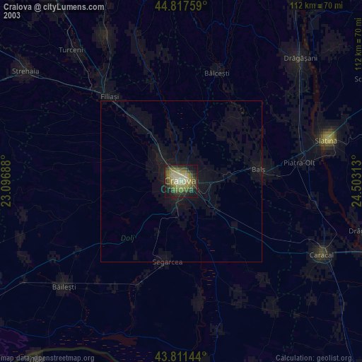
» NASA city lights 2003
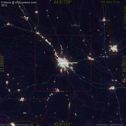
» Earth at Night: Flat Maps 2012, 2016