Deleni night lights from space
Night Light of Deleni (Iaşi) from space (Romania) Src. Average luminocity for 10x10km area is 0.6861% and for 50x50km: 0.221%.
Analysis of Deleni night lights 2016
Square area 10x10 km:
100  0%
0%
90-99 0%
80-89 0%
70-79 0%
60-69 0.57%
50-59 0%
40-49 0%
30-39 0%
20-29 0.57%
10-19 0.57%
0-9 98.3%
0%90-99
0%80-89
0%70-79
0%60-69
0.57%50-59
0%40-49
0%30-39
0%20-29
0.57%10-19
0.57%0-9
98.3%Square area 50x50 km:
100 0%
90-99 0.02%
80-89 0.06%
70-79 0%
60-69 0.07%
50-59 0.02%
40-49 0.03%
30-39 0.02%
20-29 0.11%
10-19 0.02%
0-9 99.64%
0%90-99
0.02%80-89
0.06%70-79
0%60-69
0.07%50-59
0.02%40-49
0.03%30-39
0.02%20-29
0.11%10-19
0.02%0-9
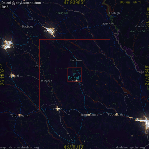
99.64%Clear (daylight) street map image can be seen on geolist.org.
Map coordinates:
47° 56' 23.5" North, 26° 10' 48.8" East
47° 28' 0" North, 26° 52' 60" East
46° 59' 21.1" North, 27° 35' 11.3" East
Some cities around Deleni sort by population:
• Storeşti
9.3 km =5.8 mi,  352°
352°
• Hârlău
3.9 km =2.4 mi,  161°
161°
• Cotnari
15 km =9.3 mi,  149°
149°
• Scobinţi
10 km =6.2 mi, 157°
• Copălău
17.1 km =10.6 mi, 347°
• Todireşti
17.1 km =10.6 mi,  192°
192°
• Lespezi
17.7 km =11 mi,  231°
231°
• Frumuşica
7.5 km =4.7 mi,  9°
9°
679518 (p: 10,484)
Sources (retrieved 2019-11-25):
» Earth at Night: Flat Maps 2012, 2016