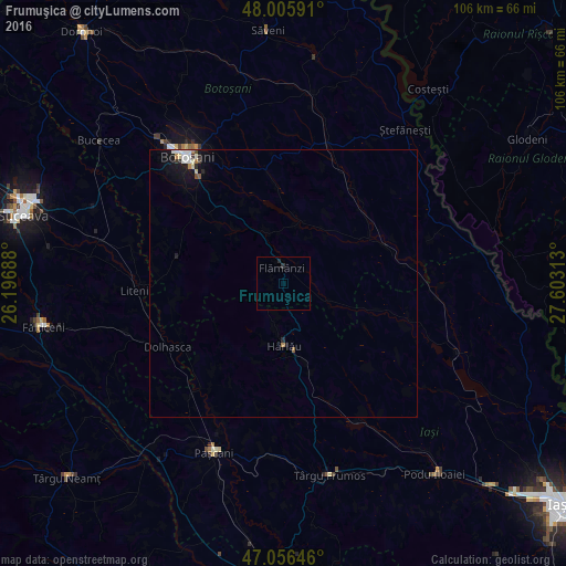
Frumuşica night lights from space
Night Light of Frumuşica (Botoşani) from space (Romania) Src. Average luminocity for 10x10km area is 0.331% and for 50x50km: 0.7619%.
Analysis of Frumuşica night lights 2016
Square area 10x10 km:
 0%
0%90-99
0%80-89
0%70-79
0%60-69
0%50-59
0%40-49
0%30-39
0.28%20-29
0.85%10-19
0%0-9
98.86%Square area 50x50 km:
0.13%90-99
0.19%80-89
0.07%70-79
0.03%60-69
0.09%50-59
0.05%40-49
0.05%30-39
0.08%20-29
0.17%10-19
0.65%0-9
98.5%Clear (daylight) street map image can be seen on geolist.org.
Map coordinates:
48° 0' 21.3" North, 26° 11' 48.8" East
47° 31' 60" North, 26° 54' 0" East
47° 3' 23.3" North, 27° 36' 11.3" East
Some cities around Frumuşica sort by population:
• Storeşti
3.1 km =1.9 mi,  306°
306°
• Hârlău
11.1 km =6.9 mi,  180°
180°
• Deleni
7.5 km =4.7 mi,  189°
189°
• Cotnari
21.3 km =13.2 mi,  162°
162°
• Scobinţi
16.9 km =10.5 mi,  171°
171°
• Copălău
10.5 km =6.5 mi,  331°
331°
• Tudora
20.1 km =12.5 mi,  264°
264°
• Băluşeni
16.6 km =10.3 mi, 333°
677872 (p: 6,069)
Sources (retrieved 2019-11-25):
» Earth at Night: Flat Maps 2012, 2016