Lespezi night lights from space
Night Light of Lespezi (Iaşi) from space (Romania) Src. Average luminocity for 10x10km area is 0% and for 50x50km: 0.3212%.
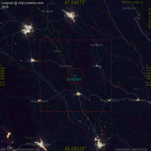
Analysis of Lespezi night lights 2016
Square area 10x10 km:
 0%
0%90-99
0%80-89
0%70-79
0%60-69
0%50-59
0%40-49
0%30-39
0%20-29
0%10-19
0%0-9
100%Square area 50x50 km:
0%90-99
0.02%80-89
0.09%70-79
0.02%60-69
0.07%50-59
0.04%40-49
0.1%30-39
0.06%20-29
0.14%10-19
0.06%0-9
99.42%Clear (daylight) street map image can be seen on geolist.org.
Map coordinates:
47° 50' 26.7" North, 25° 59' 48.8" East
47° 22' 0" North, 26° 42' 0" East
46° 53' 17.8" North, 27° 24' 11.3" East
Some cities around Lespezi sort by population:
• Paşcani
13.4 km =8.3 mi,  172°
172°
• Hârlău
16.8 km =10.4 mi,  63°
63°
• Dolhasca
10.6 km =6.6 mi,  314°
314°
• Todireşti
11.5 km =7.1 mi,  118°
118°
• Ruginoasa
17.2 km =10.7 mi,  138°
138°
• Tătăruşi
7.8 km =4.8 mi,  256°
256°
• Tudora
17.4 km =10.8 mi,  343°
343°
• Moţca
14.4 km =8.9 mi,  205°
205°
674844 (p: 6,138)
Sources (retrieved 2019-11-25):
» Earth at Night: Flat Maps 2012, 2016