Todireşti night lights from space
Night Light of Todireşti (Iaşi) from space (Romania) Src. Average luminocity for 10x10km area is 0% and for 50x50km: 0.2861%.
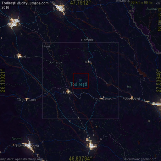
Analysis of Todireşti night lights 2016
Square area 10x10 km:
 0%
0%90-99
0%80-89
0%70-79
0%60-69
0%50-59
0%40-49
0%30-39
0%20-29
0%10-19
0%0-9
100%Square area 50x50 km:
0%90-99
0.02%80-89
0.09%70-79
0.01%60-69
0.07%50-59
0.03%40-49
0.09%30-39
0.02%20-29
0.1%10-19
0.06%0-9
99.51%Clear (daylight) street map image can be seen on geolist.org.
Map coordinates:
47° 47' 28.3" North, 26° 7' 48.8" East
47° 19' 0" North, 26° 49' 60" East
46° 50' 16.2" North, 27° 32' 11.3" East
Some cities around Todireşti sort by population:
• Paşcani
11.4 km =7.1 mi,  227°
227°
• Hârlău
13.9 km =8.6 mi,  21°
21°
• Deleni
17.1 km =10.6 mi,  12°
12°
• Cotnari
11.9 km =7.4 mi,  71°
71°
• Scobinţi
10.6 km =6.6 mi,  45°
45°
• Ruginoasa
7.5 km =4.7 mi,  170°
170°
• Lespezi
11.5 km =7.1 mi,  298°
298°
• Stolniceni-Prăjescu
14.6 km =9.1 mi,  206°
206°
664859 (p: 6,970)
Sources (retrieved 2019-11-25):
» Earth at Night: Flat Maps 2012, 2016