Vorona Teodoru night lights from space
Night Light of Vorona Teodoru (Botoşani) from space (Romania) Src. Average luminocity for 10x10km area is 0.1491% and for 50x50km: 1.684%.
Analysis of Vorona Teodoru night lights 2016
Square area 10x10 km:
 0%
0%90-99
0%80-89
0%70-79
0%60-69
0%50-59
0%40-49
0%30-39
0%20-29
0.57%10-19
0%0-9
99.43%Square area 50x50 km:
0.27%90-99
0.32%80-89
0.18%70-79
0.09%60-69
0.17%50-59
0.2%40-49
0.18%30-39
0.19%20-29
0.42%10-19
1.49%0-9
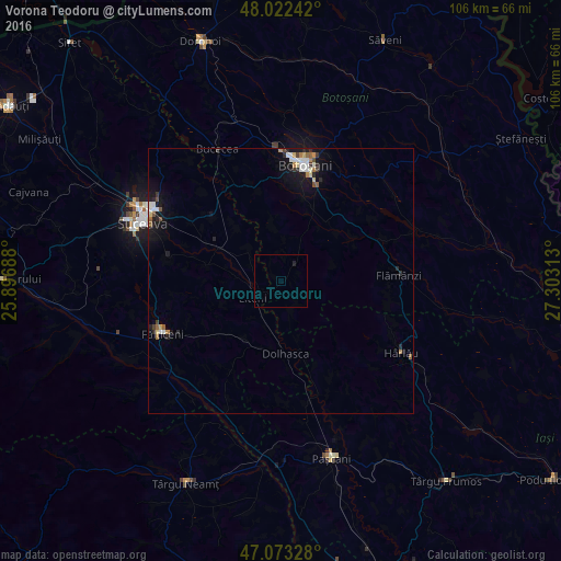
96.5%Clear (daylight) street map image can be seen on geolist.org.
Map coordinates:
48° 1' 20.7" North, 25° 53' 48.8" East
47° 33' 0" North, 26° 36' 0" East
47° 4' 23.8" North, 27° 18' 11.3" East
Some cities around Vorona Teodoru sort by population:
• Dolhasca
13 km =8.1 mi,  180°
180°
• Preuteşti
17.7 km =11 mi,  231°
231°
• Dumbrăveni
17.7 km =11 mi,  308°
308°
• Udeşti
13.9 km =8.6 mi,  277°
277°
• Vereşti
13.7 km =8.5 mi,  293°
293°
• Copălău
19 km =11.8 mi,  67°
67°
• Corni
11.2 km =7 mi,  353°
353°
• Tudora
4.5 km =2.8 mi,  145°
145°
662463 (p: 7,992)
Sources (retrieved 2019-11-25):
» Earth at Night: Flat Maps 2012, 2016