Saint-Pierre night lights from space
Night Light of Saint-Pierre (Réunion) from space (Reunion) Src. Average luminocity for 10x10km area is 40.7633% and for 50x50km: 7.6828%.
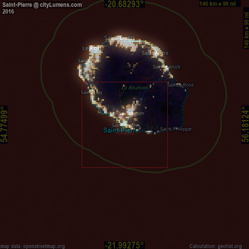
Analysis of Saint-Pierre night lights 2016
Square area 10x10 km:
 6.06%
6.06%90-99
7.39%80-89
5.49%70-79
3.6%60-69
7.01%50-59
3.41%40-49
9.66%30-39
6.82%20-29
12.88%10-19
22.73%0-9
14.96%Square area 50x50 km:
0.71%90-99
1.08%80-89
0.91%70-79
0.61%60-69
1.2%50-59
0.85%40-49
1.5%30-39
1.63%20-29
1.96%10-19
8.32%0-9
81.23%Clear (daylight) street map image can be seen on geolist.org.
Map coordinates:
20° 40' 58.5" South, 54° 46' 30" East
21° 20' 21.5" South, 55° 28' 41.2" East
21° 59' 33.9" South, 56° 10' 52.5" East
Some cities around Saint-Pierre sort by population:
• Le Tampon
8.1 km =5 mi,  30°
30°
• Piton Saint-Leu
21.5 km =13.4 mi,  308°
308°
• Petite-Île
9.1 km =5.7 mi,  99°
99°
• Les Avirons
18.3 km =11.4 mi, 306°
• Salazie
35.3 km =21.9 mi,  10°
10°
• Les Trois-Bassins
32.4 km =20.1 mi,  325°
325°
• Cilaos
22.6 km =14 mi,  358°
358°
• Entre-Deux
11.8 km =7.3 mi,  354°
354°
935214 (p: 76,655)
Sources (retrieved 2019-11-25):
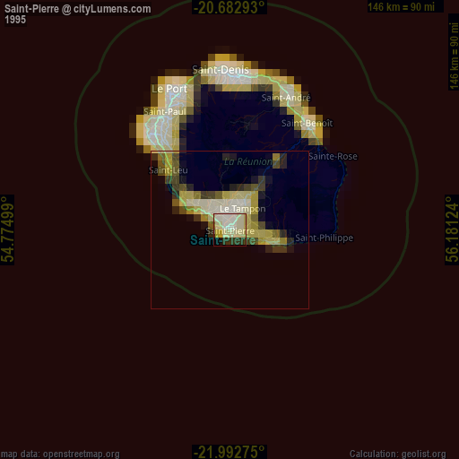
» NASA, Earths city lights 1995
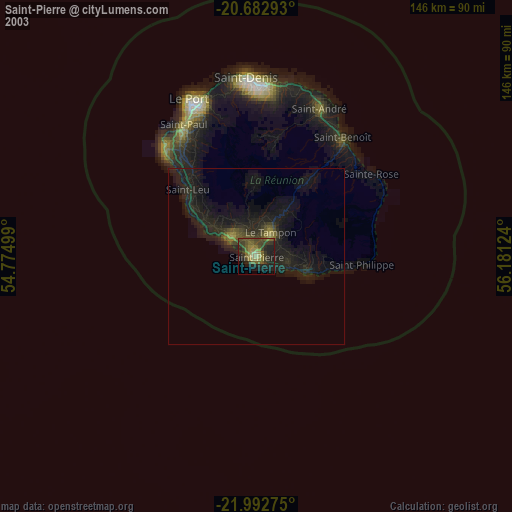
» NASA city lights 2003
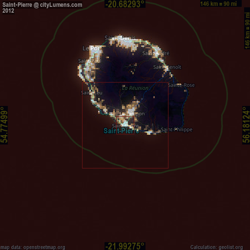
» Earth at Night: Flat Maps 2012, 2016