Le Tampon night lights from space
Night Light of Le Tampon (Réunion) from space (Reunion) Src. Average luminocity for 10x10km area is 49.3068% and for 50x50km: 8.5645%.
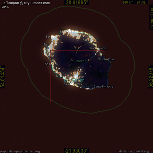
Analysis of Le Tampon night lights 2016
Square area 10x10 km:
 6.06%
6.06%90-99
12.88%80-89
1.52%70-79
3.22%60-69
11.74%50-59
4.17%40-49
16.29%30-39
12.12%20-29
14.39%10-19
16.29%0-9
1.33%Square area 50x50 km:
0.72%90-99
1.12%80-89
1.08%70-79
0.77%60-69
1.31%50-59
1.09%40-49
1.72%30-39
1.87%20-29
2.37%10-19
8.33%0-9
79.62%Clear (daylight) street map image can be seen on geolist.org.
Map coordinates:
20° 37' 11.8" South, 54° 48' 52.3" East
21° 16' 35.8" South, 55° 31' 3.6" East
21° 55' 49.2" South, 56° 13' 14.8" East
Some cities around Le Tampon sort by population:
• Saint-Pierre
8.1 km =5 mi,  210°
210°
• Saint-Louis
11.1 km =6.9 mi,  264°
264°
• Saint-Joseph
15.2 km =9.4 mi,  137°
137°
• Piton Saint-Leu
21.9 km =13.6 mi,  286°
286°
• Petite-Île
9.8 km =6.1 mi,  150°
150°
• Les Avirons
19.2 km =11.9 mi,  282°
282°
• Cilaos
16.3 km =10.1 mi,  343°
343°
• Entre-Deux
7.1 km =4.4 mi,  312°
312°
935582 (p: 69,986)
Sources (retrieved 2019-11-25):
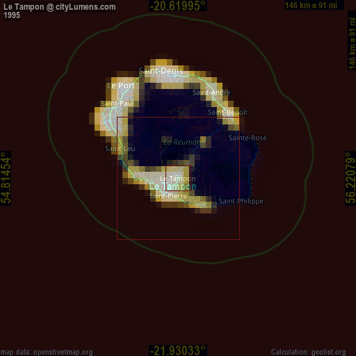
» NASA, Earths city lights 1995
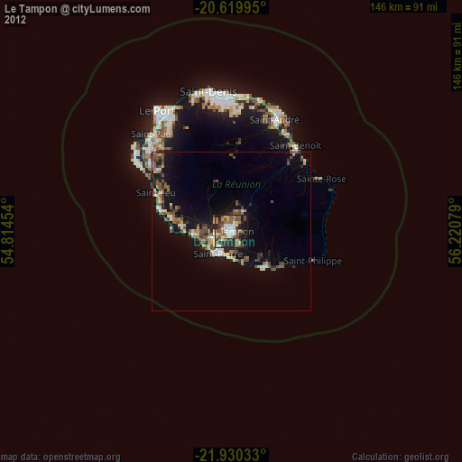
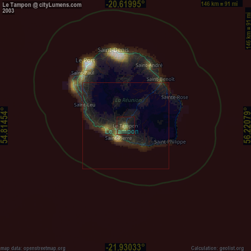
» NASA city lights 2003
» Earth at Night: Flat Maps 2012, 2016