Les Avirons night lights from space
Night Light of Les Avirons (Réunion) from space (Reunion) Src. Average luminocity for 10x10km area is 31.5476% and for 50x50km: 10.3479%.
Analysis of Les Avirons night lights 2016
Square area 10x10 km:
 2.78%
2.78%90-99
4.96%80-89
7.14%70-79
3.37%60-69
3.17%50-59
3.97%40-49
3.57%30-39
6.75%20-29
2.78%10-19
39.48%0-9
22.02%Square area 50x50 km:
0.89%90-99
1.47%80-89
1.42%70-79
1.04%60-69
1.55%50-59
1.09%40-49
1.99%30-39
2.36%20-29
2.74%10-19
10.11%0-9
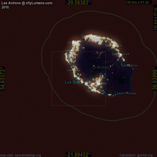
75.34%Clear (daylight) street map image can be seen on geolist.org.
Map coordinates:
20° 35' 1.8" South, 54° 38' 1.4" East
21° 14' 26.3" South, 55° 20' 12.7" East
21° 53' 40.3" South, 56° 2' 23.9" East
Some cities around Les Avirons sort by population:
• Saint-Pierre
18.3 km =11.4 mi,  126°
126°
• Le Tampon
19.2 km =11.9 mi,  102°
102°
• Saint-Louis
9.2 km =5.7 mi,  123°
123°
• Piton Saint-Leu
3.2 km =2 mi,  316°
316°
• Saint-Leu
9.3 km =5.8 mi,  327°
327°
• Les Trois-Bassins
16.1 km =10 mi,  346°
346°
• Cilaos
18.2 km =11.3 mi,  50°
50°
• Entre-Deux
13.5 km =8.4 mi,  86°
86°
935608 (p: 8,006)
Sources (retrieved 2019-11-25):
» Earth at Night: Flat Maps 2012, 2016