Salazie night lights from space
Night Light of Salazie (Réunion) from space (Reunion) Src. Average luminocity for 10x10km area is 3.5655% and for 50x50km: 13.6043%.
Analysis of Salazie night lights 2016
Square area 10x10 km:
 0%
0%90-99
0%80-89
0%70-79
0%60-69
0%50-59
0%40-49
0.99%30-39
4.17%20-29
1.98%10-19
0%0-9
92.86%Square area 50x50 km:
1.49%90-99
2.3%80-89
1.86%70-79
1.42%60-69
1.58%50-59
1.29%40-49
2.01%30-39
1.98%20-29
4.33%10-19
13.9%0-9
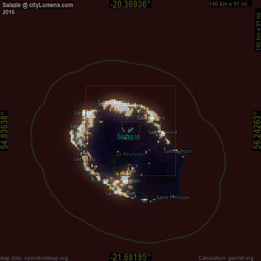
67.85%Clear (daylight) street map image can be seen on geolist.org.
Map coordinates:
20° 22' 9.7" South, 54° 50' 11" East
21° 1' 37.6" South, 55° 32' 22.2" East
21° 40' 55" South, 56° 14' 33.5" East
Some cities around Salazie sort by population:
• Saint-Denis
18.6 km =11.6 mi,  330°
330°
• Saint-André
13.5 km =8.4 mi,  58°
58°
• Saint-Benoît
18.3 km =11.4 mi,  93°
93°
• Sainte-Marie
14.5 km =9 mi,  4°
4°
• La Possession
23.9 km =14.9 mi,  297°
297°
• Sainte-Suzanne
15.2 km =9.4 mi,  27°
27°
• Bras-Panon
14.8 km =9.2 mi,  76°
76°
• Cilaos
14 km =8.7 mi,  209°
209°
935210 (p: 7,696)
Sources (retrieved 2019-11-25):
» Earth at Night: Flat Maps 2012, 2016