Saint-Philippe night lights from space
Night Light of Saint-Philippe (Réunion) from space (Reunion) Src. Average luminocity for 10x10km area is 0.2121% and for 50x50km: 1.2333%.
Analysis of Saint-Philippe night lights 2016
Square area 10x10 km:
 0%
0%90-99
0%80-89
0%70-79
0%60-69
0%50-59
0%40-49
0%30-39
0%20-29
0.76%10-19
0%0-9
99.24%Square area 50x50 km:
0.02%90-99
0.01%80-89
0.06%70-79
0.03%60-69
0.26%50-59
0.2%40-49
0.47%30-39
0.32%20-29
0.64%10-19
1.29%0-9
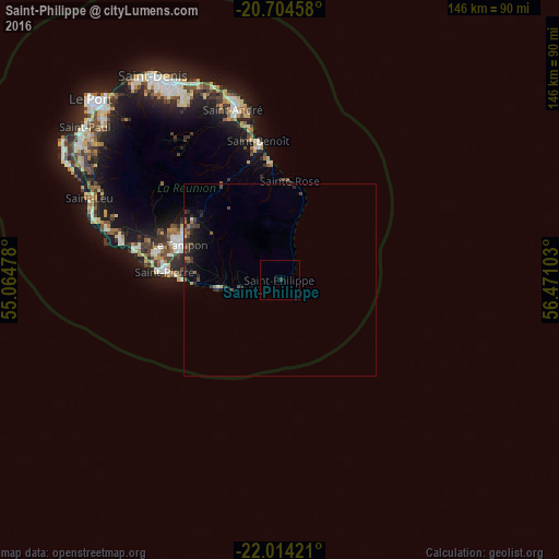
96.7%Clear (daylight) street map image can be seen on geolist.org.
Map coordinates:
20° 42' 16.5" South, 55° 3' 53.2" East
21° 21' 39.1" South, 55° 46' 4.4" East
22° 0' 51.2" South, 56° 28' 15.7" East
Some cities around Saint-Philippe sort by population:
• Le Tampon
27.6 km =17.1 mi,  289°
289°
• Piton Saint-Leu
49.5 km =30.8 mi, 288°
• Petite-Île
21.1 km =13.1 mi,  272°
272°
• Bras-Panon
41.5 km =25.8 mi,  347°
347°
• Les Avirons
46.6 km =29 mi, 286°
• Salazie
44 km =27.3 mi,  327°
327°
• Cilaos
39.5 km =24.5 mi,  309°
309°
• Entre-Deux
34.3 km =21.3 mi, 294°
935215 (p: 5,441)
Sources (retrieved 2019-11-25):
» Earth at Night: Flat Maps 2012, 2016