Vinhais night lights from space
Night Light of Vinhais (Bragança) from space (Portugal) Src. Average luminocity for 10x10km area is 6.4413% and for 50x50km: 2.7374%.
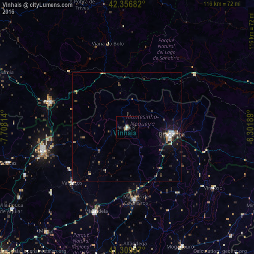
Analysis of Vinhais night lights 2016
Square area 10x10 km:
 1.11%
1.11%90-99
0.95%80-89
1.27%70-79
0.48%60-69
0.63%50-59
1.11%40-49
0.16%30-39
1.11%20-29
0.79%10-19
0.63%0-9
91.75%Square area 50x50 km:
0.32%90-99
0.36%80-89
0.22%70-79
0.15%60-69
0.34%50-59
0.41%40-49
0.44%30-39
0.64%20-29
0.9%10-19
1.99%0-9
94.23%Clear (daylight) street map image can be seen on geolist.org.
Map coordinates:
42° 21' 24.6" North, 7° 42' 29.3" West
41° 50' 6.3" North, 7° 0' 18" West
41° 18' 32.7" North, 6° 18' 6.8" West
Some cities around Vinhais sort by population:
• Bragança
20.8 km =12.9 mi,  99°
99°
• Chaves
39.9 km =24.8 mi,  254°
254°
• Verín, ES
37.7 km =23.4 mi,  288°
288°
• O Barco de Valdeorras, ES
64.6 km =40.1 mi,  1°
1°
• Mirandela
41.5 km =25.8 mi,  201°
201°
• Xinzo de Limia, ES
64.7 km =40.2 mi, 293°
• Macedo de Cavaleiros
33.2 km =20.6 mi,  173°
173°
• Boticas
57.4 km =35.7 mi, 253°
2732286 (p: 9,066)
Sources (retrieved 2019-11-25):
» Earth at Night: Flat Maps 2012, 2016