Bragança night lights from space
Night Light of Bragança from space (Portugal) Src. Average luminocity for 10x10km area is 28.9485% and for 50x50km: 2.7997%.

Analysis of Bragança night lights 2016
Square area 10x10 km:
 6.52%
6.52%90-99
6.82%80-89
1.06%70-79
1.97%60-69
3.03%50-59
2.73%40-49
3.18%30-39
2.58%20-29
5.45%10-19
35%0-9
31.67%Square area 50x50 km:
0.34%90-99
0.41%80-89
0.29%70-79
0.23%60-69
0.28%50-59
0.27%40-49
0.34%30-39
0.55%20-29
0.93%10-19
1.95%0-9
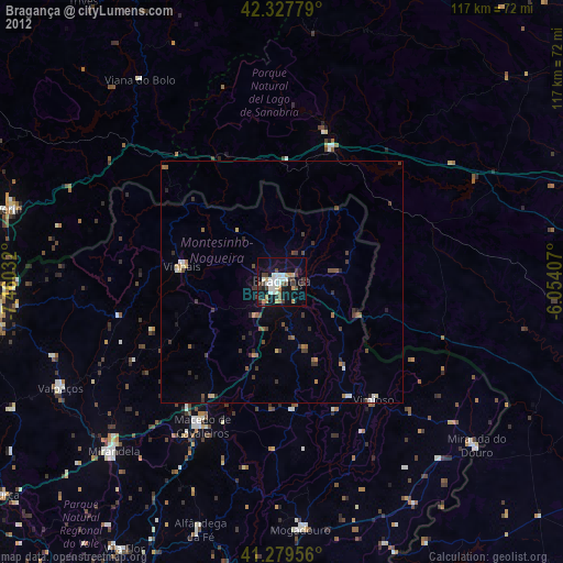
94.4%Clear (daylight) street map image can be seen on geolist.org.
Map coordinates:
42° 19' 40" North, 7° 27' 37.2" West
41° 48' 21" North, 6° 45' 25.9" West
41° 16' 46.4" North, 6° 3' 14.7" West
Some cities around Bragança sort by population:
• Chaves
59.5 km =37 mi,  262°
262°
• Verín, ES
58.4 km =36.3 mi,  284°
284°
• O Barco de Valdeorras, ES
70.6 km =43.9 mi,  344°
344°
• Mirandela
50.3 km =31.3 mi,  225°
225°
• Vinhais
20.8 km =12.9 mi, 279°
• Torre de Moncorvo
74.4 km =46.2 mi,  199°
199°
• Miranda do Douro
52.9 km =32.9 mi,  130°
130°
• Macedo de Cavaleiros
34.2 km =21.3 mi,  209°
209°
2742027 (p: 34,375)
Sources (retrieved 2019-11-25):
» Earth at Night: Flat Maps 2012, 2016