Vidigueira night lights from space
Night Light of Vidigueira (Beja) from space (Portugal) Src. Average luminocity for 10x10km area is 4.2109% and for 50x50km: 2.4686%.
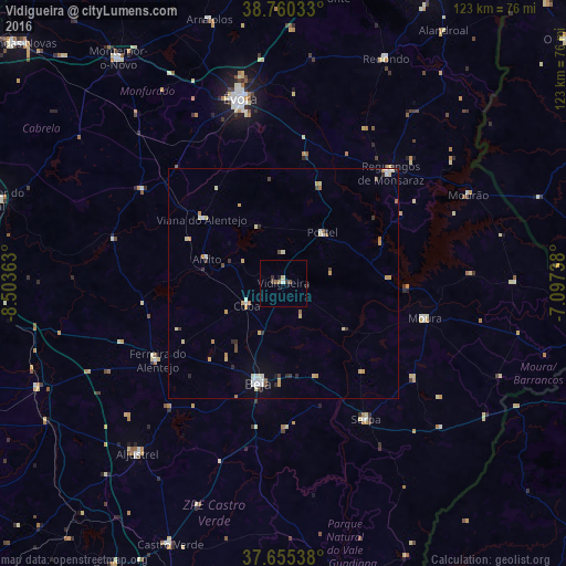
Analysis of Vidigueira night lights 2016
Square area 10x10 km:
 0.51%
0.51%90-99
0.17%80-89
0.68%70-79
0%60-69
0.68%50-59
1.36%40-49
0.34%30-39
2.04%20-29
0.17%10-19
0.51%0-9
93.54%Square area 50x50 km:
0.33%90-99
0.32%80-89
0.5%70-79
0.46%60-69
0.23%50-59
0.18%40-49
0.28%30-39
0.33%20-29
0.29%10-19
0.23%0-9
96.85%Clear (daylight) street map image can be seen on geolist.org.
Map coordinates:
38° 45' 37.2" North, 8° 30' 13.1" West
38° 12' 35.8" North, 7° 48' 1.8" West
37° 39' 19.4" North, 7° 5' 50.6" West
Some cities around Vidigueira sort by population:
• Évora
40.6 km =25.2 mi,  347°
347°
• Beja
22.4 km =13.9 mi,  194°
194°
• Montemor-o-Novo
60.6 km =37.7 mi,  323°
323°
• Moura
31.7 km =19.7 mi,  104°
104°
• Reguengos de Monsaraz
33.3 km =20.7 mi,  44°
44°
• Serpa
34.3 km =21.3 mi,  148°
148°
• Redondo
53.5 km =33.2 mi,  24°
24°
• Aljustrel
48.8 km =30.3 mi,  220°
220°
2261675 (p: 5,932)
Sources (retrieved 2019-11-25):
» Earth at Night: Flat Maps 2012, 2016