Évora night lights from space
Night Light of Évora from space (Portugal) Src. Average luminocity for 10x10km area is 34.1201% and for 50x50km: 2.7921%.
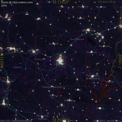
Analysis of Évora night lights 2016
Square area 10x10 km:
 8.28%
8.28%90-99
8.44%80-89
3.9%70-79
0.81%60-69
2.76%50-59
1.79%40-49
3.25%30-39
3.73%20-29
5.84%10-19
40.42%0-9
20.78%Square area 50x50 km:
0.39%90-99
0.45%80-89
0.46%70-79
0.3%60-69
0.36%50-59
0.22%40-49
0.28%30-39
0.33%20-29
0.48%10-19
2.09%0-9
94.65%Clear (daylight) street map image can be seen on geolist.org.
Map coordinates:
39° 6' 51.6" North, 8° 36' 11.3" West
38° 34' 0" North, 7° 54' 0" West
38° 0' 53.3" North, 7° 11' 48.8" West
Some cities around Évora sort by population:
• Montemor-o-Novo
28.8 km =17.9 mi,  288°
288°
• Vendas Novas
50 km =31.1 mi,  284°
284°
• Estremoz
41.2 km =25.6 mi,  41°
41°
• Alcácer do Sal
57.7 km =35.9 mi,  248°
248°
• Vila Viçosa
48 km =29.8 mi,  60°
60°
• Reguengos de Monsaraz
35.4 km =22 mi,  116°
116°
• Vidigueira
40.6 km =25.2 mi,  167°
167°
• Redondo
32 km =19.9 mi,  73°
73°
2268406 (p: 55,620)
Sources (retrieved 2019-11-25):
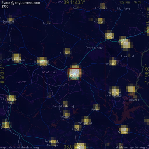
» NASA, Earths city lights 1995
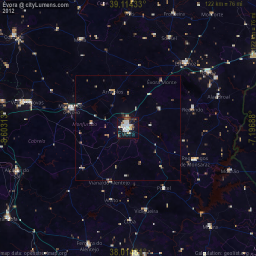
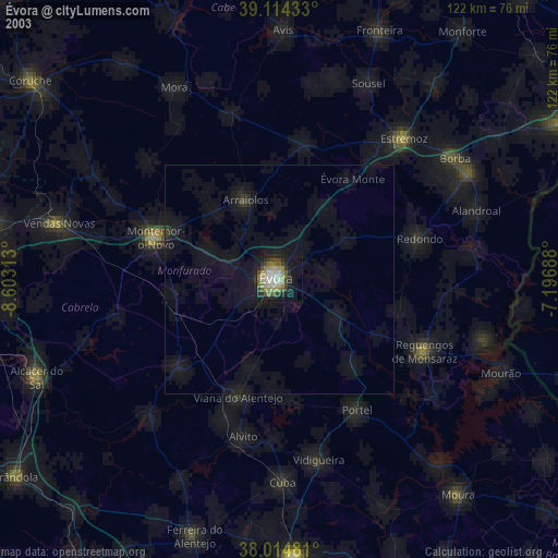
» NASA city lights 2003
» Earth at Night: Flat Maps 2012, 2016