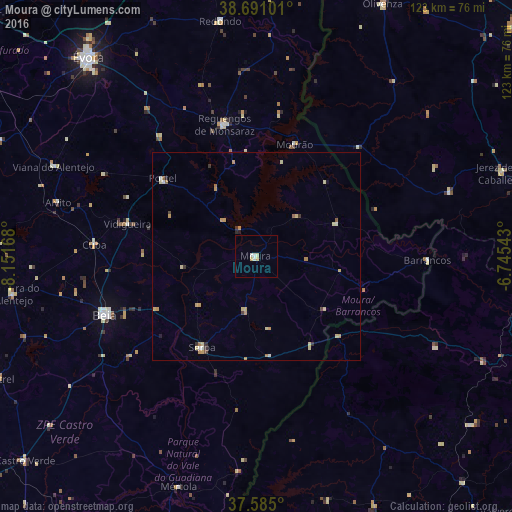
Moura night lights from space
Night Light of Moura (Beja) from space (Portugal) Src. Average luminocity for 10x10km area is 4.4847% and for 50x50km: 1.4349%.
Analysis of Moura night lights 2016
Square area 10x10 km:
 1.19%
1.19%90-99
0.85%80-89
1.02%70-79
1.02%60-69
0%50-59
0%40-49
0%30-39
0%20-29
0%10-19
0%0-9
95.92%Square area 50x50 km:
0.12%90-99
0.12%80-89
0.49%70-79
0.44%60-69
0.13%50-59
0.09%40-49
0.07%30-39
0.2%20-29
0.12%10-19
0.07%0-9
98.14%Clear (daylight) street map image can be seen on geolist.org.
Map coordinates:
38° 41' 27.6" North, 8° 9' 6" West
38° 8' 24.4" North, 7° 26' 54.8" West
37° 35' 6" North, 6° 44' 43.5" West
Some cities around Moura sort by population:
• Évora
61.6 km =38.3 mi,  320°
320°
• Beja
38.9 km =24.2 mi,  249°
249°
• Mértola
58.3 km =36.2 mi,  198°
198°
• Reguengos de Monsaraz
32.6 km =20.3 mi,  346°
346°
• Serpa
25.2 km =15.7 mi,  211°
211°
• Vidigueira
31.7 km =19.7 mi,  284°
284°
• Redondo
57.2 km =35.5 mi, 351°
• Oliva de la Frontera, ES
48.7 km =30.3 mi,  71°
71°
2265686 (p: 9,360)
Sources (retrieved 2019-11-25):
» Earth at Night: Flat Maps 2012, 2016