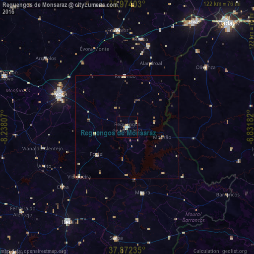
Reguengos de Monsaraz night lights from space
Night Light of Reguengos de Monsaraz (Évora) from space (Portugal) Src. Average luminocity for 10x10km area is 8.6607% and for 50x50km: 1.7526%.
Analysis of Reguengos de Monsaraz night lights 2016
Square area 10x10 km:
 1.14%
1.14%90-99
1.46%80-89
1.62%70-79
1.62%60-69
0%50-59
0.65%40-49
1.3%30-39
0.32%20-29
1.79%10-19
1.46%0-9
88.64%Square area 50x50 km:
0.11%90-99
0.15%80-89
0.39%70-79
0.4%60-69
0.24%50-59
0.24%40-49
0.34%30-39
0.27%20-29
0.24%10-19
0.2%0-9
97.42%Clear (daylight) street map image can be seen on geolist.org.
Map coordinates:
38° 58' 26.5" North, 8° 14' 17.1" West
38° 25' 31" North, 7° 32' 5.8" West
37° 52' 20.5" North, 6° 49' 54.6" West
Some cities around Reguengos de Monsaraz sort by population:
• Évora
35.4 km =22 mi,  296°
296°
• Olivenza, ES
47.4 km =29.5 mi,  52°
52°
• Moura
32.6 km =20.3 mi,  166°
166°
• Estremoz
46.8 km =29.1 mi,  354°
354°
• Vila Viçosa
40.5 km =25.2 mi,  14°
14°
• Serpa
53.6 km =33.3 mi,  185°
185°
• Vidigueira
33.3 km =20.7 mi,  224°
224°
• Redondo
24.9 km =15.5 mi,  357°
357°
2263974 (p: 7,217)
Sources (retrieved 2019-11-25):
» Earth at Night: Flat Maps 2012, 2016