Quinta Do Conde night lights from space
Night Light of Quinta Do Conde (District of Setúbal) from space (Portugal) Src. Average luminocity for 10x10km area is 76.4351% and for 50x50km: 36.3691%.
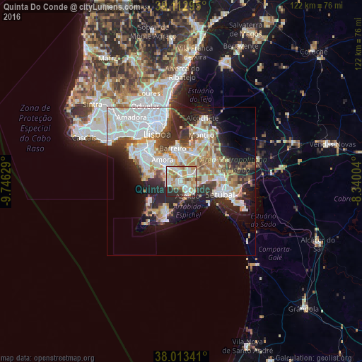
Analysis of Quinta Do Conde night lights 2016
Square area 10x10 km:
 17.86%
90-99
26.46%80-89
9.58%70-79
14.29%60-69
10.88%50-59
3.41%40-49
3.25%30-39
5.52%20-29
8.77%10-19
0%0-9
0%Square area 50x50 km:
11.11%90-99
8.9%80-89
3.36%70-79
3.92%60-69
4.07%50-59
3.4%40-49
2.64%30-39
4.1%20-29
8.06%10-19
9.54%0-9
40.9%Clear (daylight) street map image can be seen on geolist.org.
Map coordinates:
39° 6' 46.6" North, 9° 44' 46.6" West
38° 33' 55" North, 9° 2' 35.4" West
38° 0' 48.3" North, 8° 20' 24.1" West
Some cities around Quinta Do Conde sort by population:
• Amora
9.5 km =5.9 mi,  318°
318°
• Barreiro
11.2 km =7 mi,  346°
346°
• Arrentela
8.4 km =5.2 mi, 322°
• Azeitão
5.7 km =3.5 mi,  153°
153°
• Moita
10.6 km =6.6 mi,  25°
25°
• Alhos Vedros
10.1 km =6.3 mi,  9°
9°
• Aldeia de Paio Pires
6.7 km =4.2 mi,  328°
328°
• Santo António da Charneca
6.8 km =4.2 mi, 9°
6559488 (p: 25,606)
Sources (retrieved 2019-11-25):
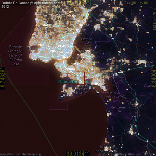
» Earth at Night: Flat Maps 2012, 2016