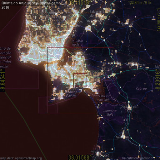
Quinta do Anjo night lights from space
Night Light of Quinta do Anjo (District of Setúbal) from space (Portugal) Src. Average luminocity for 10x10km area is 69.211% and for 50x50km: 33.0439%.
Analysis of Quinta do Anjo night lights 2016
Square area 10x10 km:
 10.39%
90-99
20.45%80-89
9.09%70-79
10.88%60-69
17.53%50-59
6.49%40-49
7.79%30-39
10.23%20-29
7.14%10-19
0%0-9
0%Square area 50x50 km:
9.47%90-99
7.35%80-89
3.05%70-79
3.86%60-69
4.18%50-59
3.35%40-49
2.55%30-39
4.09%20-29
7.78%10-19
9.31%0-9
45.02%Clear (daylight) street map image can be seen on geolist.org.
Map coordinates:
39° 6' 54.6" North, 9° 38' 43.5" West
38° 34' 3.1" North, 8° 56' 32.2" West
38° 0' 56.4" North, 8° 14' 21" West
Some cities around Quinta do Anjo sort by population:
• Setúbal
6.7 km =4.2 mi,  135°
135°
• Pinhal Novo
7.5 km =4.7 mi,  19°
19°
• Azeitão
8.2 km =5.1 mi,  229°
229°
• Moita
10.2 km =6.3 mi,  335°
335°
• Palmela
3.6 km =2.2 mi,  87°
87°
• Alhos Vedros
12 km =7.5 mi,  323°
323°
• Aldeia de Paio Pires
13.4 km =8.3 mi,  294°
294°
• Santo António da Charneca
10 km =6.2 mi,  310°
310°
2264169 (p: 9,124)
Sources (retrieved 2019-11-25):
» Earth at Night: Flat Maps 2012, 2016