Santo António dos Olivais night lights from space
Night Light of Santo António dos Olivais (Coimbra) from space (Portugal) Src. Average luminocity for 10x10km area is 68.2581% and for 50x50km: 17.7533%.
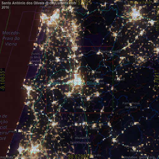
Analysis of Santo António dos Olivais night lights 2016
Square area 10x10 km:
 22.73%
90-99
17.86%80-89
6.66%70-79
5.36%60-69
8.12%50-59
8.93%40-49
6.49%30-39
5.84%20-29
7.47%10-19
9.9%0-9
0.65%Square area 50x50 km:
2%90-99
2.5%80-89
1.75%70-79
1.58%60-69
1.91%50-59
2.78%40-49
2.55%30-39
3.78%20-29
6.36%10-19
14.93%0-9
59.87%Clear (daylight) street map image can be seen on geolist.org.
Map coordinates:
40° 45' 10.2" North, 9° 6' 30.1" West
40° 13' 5" North, 8° 24' 18.8" West
39° 40' 44.5" North, 7° 42' 7.6" West
Some cities around Santo António dos Olivais sort by population:
• Coimbra
1.8 km =1.1 mi,  221°
221°
• Condeixa-a-Nova
14.1 km =8.8 mi,  213°
213°
• Lousã
17.4 km =10.8 mi,  130°
130°
• Santa Clara
3.6 km =2.2 mi,  235°
235°
• Miranda do Corvo
15.2 km =9.4 mi,  156°
156°
• Cantanhede
21.5 km =13.4 mi,  311°
311°
• Poiares
12.6 km =7.8 mi,  93°
93°
• Assafarge
6.9 km =4.3 mi,  198°
198°
2734585 (p: 38,936)
Sources (retrieved 2019-11-25):
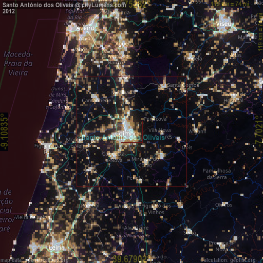
» Earth at Night: Flat Maps 2012, 2016