Coimbra night lights from space
Night Light of Coimbra from space (Portugal) Src. Average luminocity for 10x10km area is 73.7857% and for 50x50km: 17.6396%.
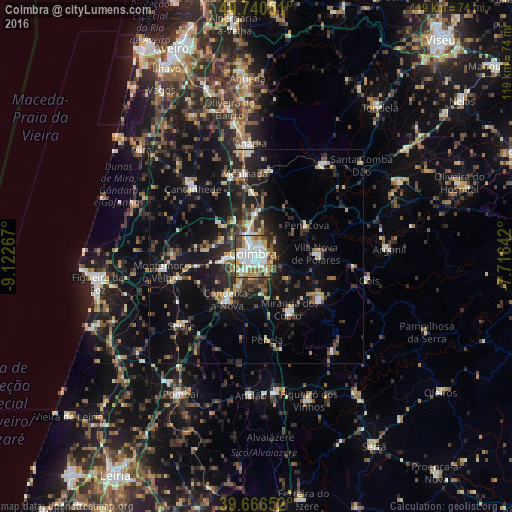
Analysis of Coimbra night lights 2016
Square area 10x10 km:
 22.4%
22.4%90-99
19.81%80-89
8.44%70-79
8.93%60-69
9.09%50-59
8.93%40-49
6.17%30-39
8.28%20-29
6.66%10-19
1.3%0-9
0%Square area 50x50 km:
1.93%90-99
2.33%80-89
1.7%70-79
1.66%60-69
1.99%50-59
2.73%40-49
2.52%30-39
3.73%20-29
6.53%10-19
14.73%0-9
60.15%Clear (daylight) street map image can be seen on geolist.org.
Map coordinates:
40° 44' 25.8" North, 9° 7' 21.6" West
40° 12' 20.3" North, 8° 25' 10.4" West
39° 39' 59.5" North, 7° 42' 59.1" West
Some cities around Coimbra sort by population:
• Santo António dos Olivais
1.8 km =1.1 mi,  41°
41°
• Condeixa-a-Nova
12.3 km =7.6 mi,  212°
212°
• Lousã
17.5 km =10.9 mi,  124°
124°
• Santa Clara
1.9 km =1.2 mi,  249°
249°
• Miranda do Corvo
14.5 km =9 mi,  149°
149°
• Arazede
21.5 km =13.4 mi,  294°
294°
• Poiares
13.8 km =8.6 mi,  87°
87°
• Assafarge
5.3 km =3.3 mi,  191°
191°
2740637 (p: 106,582)
Sources (retrieved 2019-11-25):
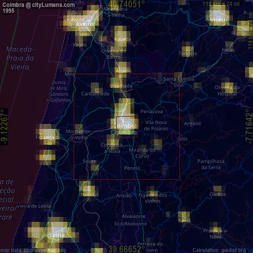
» NASA, Earths city lights 1995
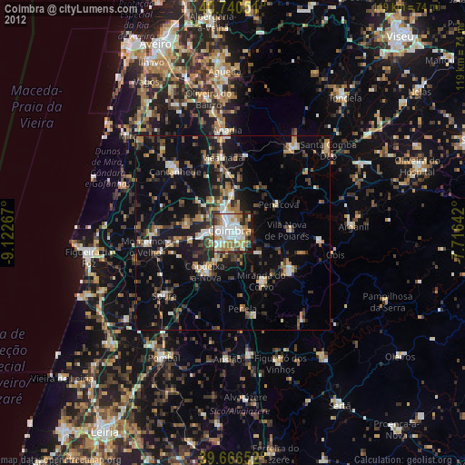
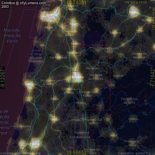
» NASA city lights 2003
» Earth at Night: Flat Maps 2012, 2016