Santana night lights from space
Night Light of Santana (Madeira) from space (Portugal) Src. Average luminocity for 10x10km area is 22.5822% and for 50x50km: 10.788%.
Analysis of Santana night lights 2016
Square area 10x10 km:
 0.35%
0.35%90-99
1.05%80-89
0.7%70-79
0.52%60-69
10.14%50-59
3.15%40-49
7.87%30-39
5.59%20-29
2.8%10-19
22.03%0-9
45.8%Square area 50x50 km:
1.41%90-99
1.52%80-89
0.68%70-79
1.95%60-69
1.82%50-59
0.8%40-49
1.11%30-39
1.44%20-29
4.12%10-19
10.03%0-9
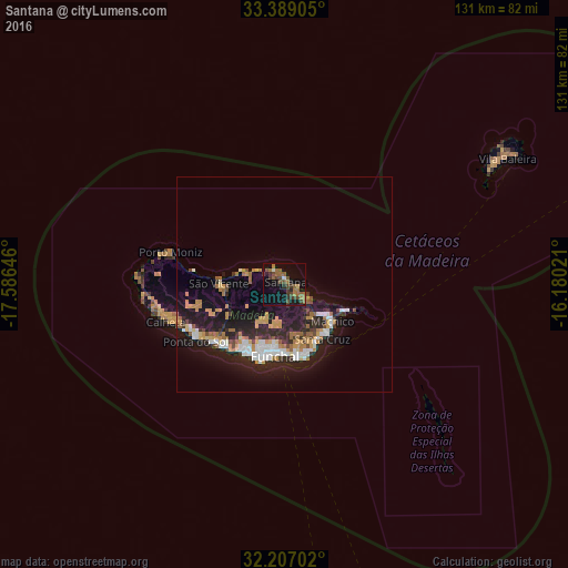
75.12%Clear (daylight) street map image can be seen on geolist.org.
Map coordinates:
33° 23' 20.6" North, 17° 35' 11.3" West
32° 48' 0" North, 16° 52' 60" West
32° 12' 25.3" North, 16° 10' 48.8" West
Some cities around Santana sort by population:
• Funchal
15.4 km =9.6 mi,  194°
194°
• São Martinho
18 km =11.2 mi,  196°
196°
• Caniço
17.1 km =10.6 mi,  165°
165°
• Machico
14.3 km =8.9 mi,  130°
130°
• São Roque
15.1 km =9.4 mi, 191°
• Camacha
13.9 km =8.6 mi,  164°
164°
• Nossa Senhora do Monte
14.9 km =9.3 mi, 186°
• São Vicente
14.9 km =9.3 mi,  268°
268°
2263491 (p: 8,804)
Sources (retrieved 2019-11-25):
» Earth at Night: Flat Maps 2012, 2016