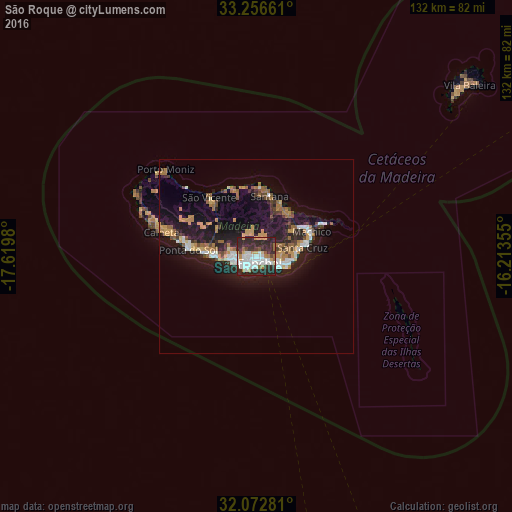
São Roque night lights from space
Night Light of São Roque (Madeira) from space (Portugal) Src. Average luminocity for 10x10km area is 55.4406% and for 50x50km: 11.3044%.
Analysis of São Roque night lights 2016
Square area 10x10 km:
 16.26%
90-99
11.71%80-89
3.32%70-79
8.57%60-69
4.2%50-59
2.8%40-49
2.8%30-39
9.09%20-29
38.81%10-19
2.45%0-9
0%Square area 50x50 km:
1.41%90-99
1.52%80-89
0.69%70-79
2.18%60-69
1.97%50-59
0.81%40-49
1.16%30-39
1.49%20-29
4.21%10-19
10.71%0-9
73.84%Clear (daylight) street map image can be seen on geolist.org.
Map coordinates:
33° 15' 23.8" North, 17° 37' 11.3" West
32° 40' 0" North, 16° 55' 0" West
32° 4' 22.1" North, 16° 12' 48.8" West
Some cities around São Roque sort by population:
• Funchal
0.8 km =0.5 mi,  262°
262°
• Câmara de Lobos
5.9 km =3.7 mi,  252°
252°
• São Martinho
3.2 km =2 mi,  219°
219°
• Caniço
7.6 km =4.7 mi,  103°
103°
• Camacha
6.9 km =4.3 mi,  78°
78°
• Nossa Senhora do Monte
1.6 km =1 mi,  90°
90°
• Santa Cruz
11.7 km =7.3 mi, 78°
• Ribeira Brava
13.7 km =8.5 mi,  273°
273°
2263228 (p: 9,385)
Sources (retrieved 2019-11-25):
» Earth at Night: Flat Maps 2012, 2016