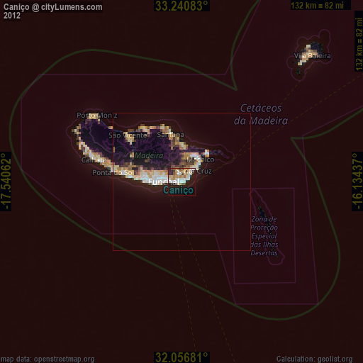
Caniço night lights from space
Night Light of Caniço (Madeira) from space (Portugal) Src. Average luminocity for 10x10km area is 42.6451% and for 50x50km: 10.0158%.
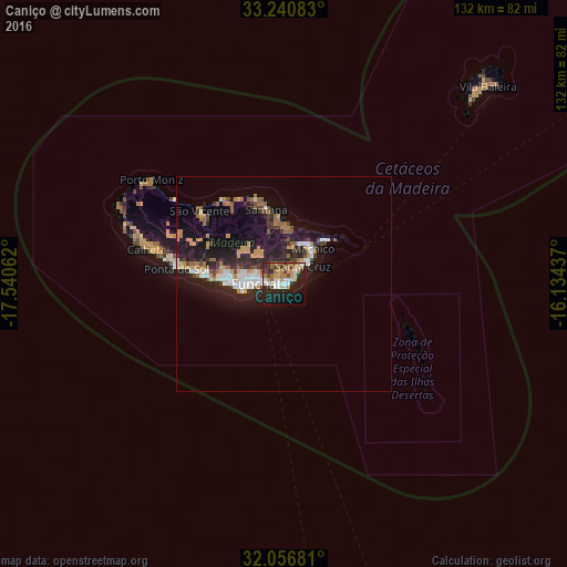
Analysis of Caniço night lights 2016
Square area 10x10 km:
 6.64%
6.64%90-99
7.69%80-89
2.27%70-79
9.09%60-69
10.84%50-59
2.62%40-49
3.5%30-39
6.12%20-29
14.51%10-19
25.35%0-9
11.36%Square area 50x50 km:
1.37%90-99
1.39%80-89
0.59%70-79
1.79%60-69
1.77%50-59
0.68%40-49
1.03%30-39
1.4%20-29
4.03%10-19
8.93%0-9
77.02%Clear (daylight) street map image can be seen on geolist.org.
Map coordinates:
33° 14' 27" North, 17° 32' 26.2" West
32° 39' 2.8" North, 16° 50' 15" West
32° 3' 24.5" North, 16° 8' 3.7" West
Some cities around Caniço sort by population:
• Funchal
8.4 km =5.2 mi,  281°
281°
• Câmara de Lobos
13.1 km =8.1 mi,  269°
269°
• São Martinho
9.5 km =5.9 mi, 265°
• Machico
9.8 km =6.1 mi,  41°
41°
• São Roque
7.6 km =4.7 mi, 283°
• Camacha
3.2 km =2 mi,  348°
348°
• Nossa Senhora do Monte
6.1 km =3.8 mi,  286°
286°
• Santa Cruz
5.8 km =3.6 mi, 44°
2270258 (p: 23,368)
Sources (retrieved 2019-11-25):
» Earth at Night: Flat Maps 2012, 2016