São Martinho night lights from space
Night Light of São Martinho (Madeira) from space (Portugal) Src. Average luminocity for 10x10km area is 52.4143% and for 50x50km: 11.6203%.
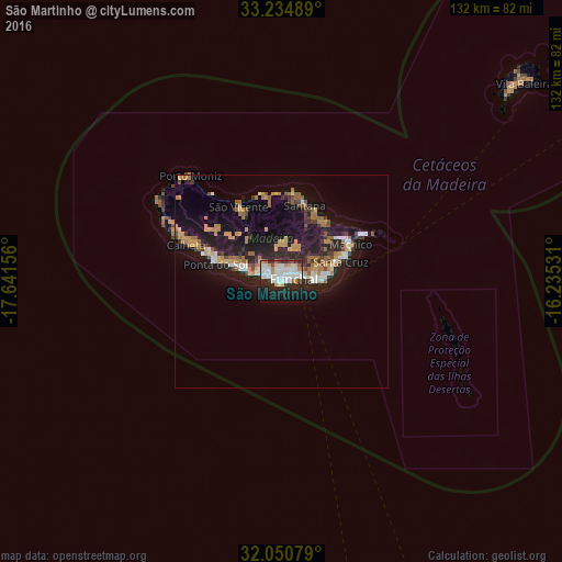
Analysis of São Martinho night lights 2016
Square area 10x10 km:
 19.06%
90-99
13.99%80-89
2.1%70-79
5.77%60-69
2.8%50-59
2.1%40-49
2.1%30-39
5.42%20-29
18.18%10-19
20.8%0-9
7.69%Square area 50x50 km:
1.41%90-99
1.52%80-89
0.77%70-79
2.31%60-69
2.05%50-59
0.82%40-49
1.22%30-39
1.52%20-29
4.21%10-19
10.99%0-9
73.18%Clear (daylight) street map image can be seen on geolist.org.
Map coordinates:
33° 14' 5.6" North, 17° 38' 29.6" West
32° 38' 41.3" North, 16° 56' 18.3" West
32° 3' 2.8" North, 16° 14' 7.1" West
Some cities around São Martinho sort by population:
• Funchal
2.6 km =1.6 mi,  27°
27°
• Câmara de Lobos
3.7 km =2.3 mi,  279°
279°
• Caniço
9.5 km =5.9 mi,  85°
85°
• São Roque
3.2 km =2 mi,  39°
39°
• Camacha
9.6 km =6 mi,  66°
66°
• Nossa Senhora do Monte
4.3 km =2.7 mi,  55°
55°
• Santa Cruz
14.4 km =8.9 mi, 70°
• Ribeira Brava
12.1 km =7.5 mi,  285°
285°
2263284 (p: 26,482)
Sources (retrieved 2019-11-25):
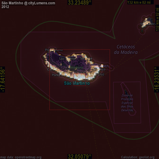
» Earth at Night: Flat Maps 2012, 2016