Funchal night lights from space
Night Light of Funchal (Madeira) from space (Portugal) Src. Average luminocity for 10x10km area is 55.1031% and for 50x50km: 11.4483%.
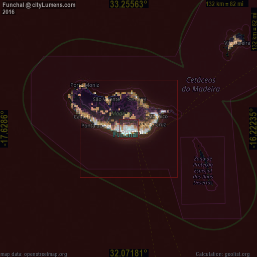
Analysis of Funchal night lights 2016
Square area 10x10 km:
 17.48%
90-99
13.29%80-89
2.27%70-79
7.17%60-69
2.8%50-59
2.1%40-49
2.8%30-39
7.87%20-29
38.99%10-19
5.24%0-9
0%Square area 50x50 km:
1.41%90-99
1.52%80-89
0.74%70-79
2.26%60-69
1.99%50-59
0.81%40-49
1.17%30-39
1.5%20-29
4.21%10-19
10.85%0-9
73.54%Clear (daylight) street map image can be seen on geolist.org.
Map coordinates:
33° 15' 20.3" North, 17° 37' 43" West
32° 39' 56.4" North, 16° 55' 31.7" West
32° 4' 18.5" North, 16° 13' 20.5" West
Some cities around Funchal sort by population:
• Câmara de Lobos
5.1 km =3.2 mi,  250°
250°
• São Martinho
2.6 km =1.6 mi,  207°
207°
• Caniço
8.4 km =5.2 mi,  101°
101°
• São Roque
0.8 km =0.5 mi,  82°
82°
• Camacha
7.7 km =4.8 mi, 78°
• Nossa Senhora do Monte
2.4 km =1.5 mi,  87°
87°
• Santa Cruz
12.6 km =7.8 mi, 78°
• Ribeira Brava
12.9 km =8 mi,  274°
274°
2267827 (p: 100,847)
Sources (retrieved 2019-11-25):
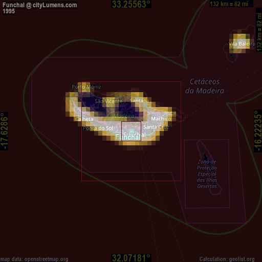
» NASA, Earths city lights 1995
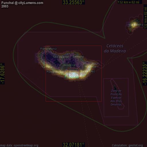
» NASA city lights 2003
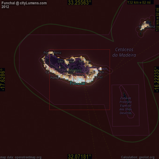
» Earth at Night: Flat Maps 2012, 2016