Olivais night lights from space
Night Light of Olivais (Lisbon) from space (Portugal) Src. Average luminocity for 10x10km area is 75.2619% and for 50x50km: 52.3946%.
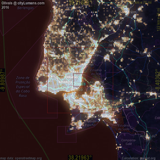

Analysis of Olivais night lights 2016
Square area 10x10 km:
 51.7%
51.7%90-99
9.86%80-89
0.51%70-79
0.68%60-69
1.87%50-59
5.78%40-49
4.93%30-39
7.48%20-29
13.27%10-19
3.91%0-9
0%Square area 50x50 km:
15.19%90-99
12.58%80-89
5.19%70-79
5.3%60-69
7.29%50-59
6.32%40-49
5.46%30-39
6.83%20-29
8.78%10-19
8.43%0-9
18.62%Clear (daylight) street map image can be seen on geolist.org.
Map coordinates:
39° 18' 57.7" North, 9° 48' 35.5" West
38° 46' 11.8" North, 9° 6' 24.3" West
38° 13' 10.7" North, 8° 24' 13" West
Some cities around Olivais sort by population:
• Alvalade
3.7 km =2.3 mi,  240°
240°
• Moscavide e Portela
1.1 km =0.7 mi,  20°
20°
• Camarate
4.2 km =2.6 mi,  333°
333°
• Sacavém
2.5 km =1.6 mi,  357°
357°
• Beato António
4.1 km =2.5 mi,  175°
175°
• Charneca
3.5 km =2.2 mi,  295°
295°
• Bobadela
4.3 km =2.7 mi,  8°
8°
• Prior Velho
2.7 km =1.7 mi, 332°
2265432 (p: 33,788)
Sources (retrieved 2019-11-25):
» Earth at Night: Flat Maps 2012, 2016