Mértola night lights from space
Night Light of Mértola (Beja) from space (Portugal) Src. Average luminocity for 10x10km area is 2.1667% and for 50x50km: 0.5885%.
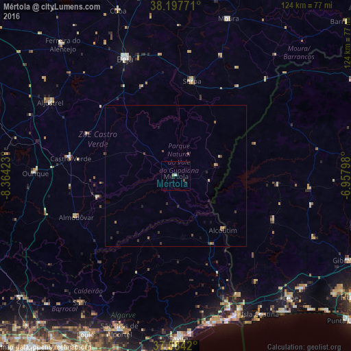
Analysis of Mértola night lights 2016
Square area 10x10 km:
 0.34%
0.34%90-99
0.34%80-89
0%70-79
0.51%60-69
0.17%50-59
0.68%40-49
0%30-39
0%20-29
0.85%10-19
1.19%0-9
95.92%Square area 50x50 km:
0.01%90-99
0.01%80-89
0.08%70-79
0.08%60-69
0.1%50-59
0.17%40-49
0.07%30-39
0.27%20-29
0.18%10-19
0.24%0-9
98.78%Clear (daylight) street map image can be seen on geolist.org.
Map coordinates:
38° 11' 51.8" North, 8° 21' 51.2" West
37° 38' 34.9" North, 7° 39' 40" West
37° 5' 3.1" North, 6° 57' 28.7" West
Some cities around Mértola sort by population:
• Beja
45 km =28 mi,  336°
336°
• Ayamonte, ES
52.7 km =32.7 mi,  154°
154°
• Tavira
57.4 km =35.7 mi,  178°
178°
• Vila Real de Santo António
54.3 km =33.7 mi,  156°
156°
• Almodôvar
38 km =23.6 mi,  247°
247°
• Serpa
34.1 km =21.2 mi,  9°
9°
• Aljustrel
51.4 km =31.9 mi,  300°
300°
• Castro Marim
50.7 km =31.5 mi, 157°
2266442 (p: 7,274)
Sources (retrieved 2019-11-25):
» Earth at Night: Flat Maps 2012, 2016