Lisbon night lights from space
Night Light of Lisbon from space (Portugal) Src. Average luminocity for 10x10km area is 77.5527% and for 50x50km: 51.9431%.
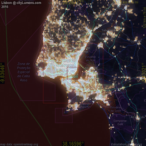
Analysis of Lisbon night lights 2016
Square area 10x10 km:
 44.22%
90-99
12.41%80-89
1.36%70-79
4.59%60-69
4.93%50-59
7.65%40-49
9.01%30-39
12.59%20-29
3.23%10-19
0%0-9
0%Square area 50x50 km:
15.94%90-99
12.89%80-89
4.9%70-79
5.13%60-69
6.78%50-59
5.63%40-49
5.39%30-39
6.38%20-29
8.78%10-19
7.33%0-9
20.83%Clear (daylight) street map image can be seen on geolist.org.
Map coordinates:
39° 15' 47.4" North, 9° 50' 11.3" West
38° 43' 0" North, 9° 7' 60" West
38° 9' 57.5" North, 8° 25' 48.8" West
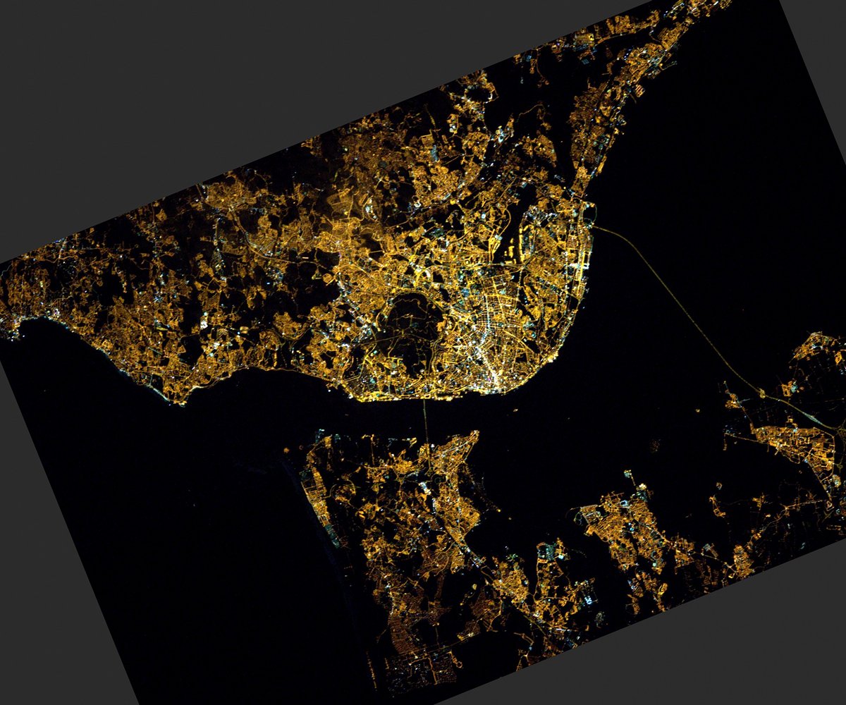
Fantastic image of Lisbon from space taken by astronauts [src2], but I don't have information about it's orientation, scale or angle. If necessary, it was rotated manually, so North points approximately to upper direction. Click to zoom in:
Some cities around Lisbon sort by population:
• Almada
4.7 km =2.9 mi,  206°
206°
• Olivais
6.4 km =4 mi,  21°
21°
• Alvalade
4.2 km =2.6 mi,  347°
347°
• Laranjeira
7 km =4.3 mi,  194°
194°
• Piedade
5.6 km =3.5 mi,  202°
202°
• Beato António
3.2 km =2 mi,  54°
54°
• Pragal
5.6 km =3.5 mi, 214°
• Cacilhas
3.6 km =2.2 mi, 202°
2267057 (p: 517,802)
Sources (retrieved 2019-11-25):
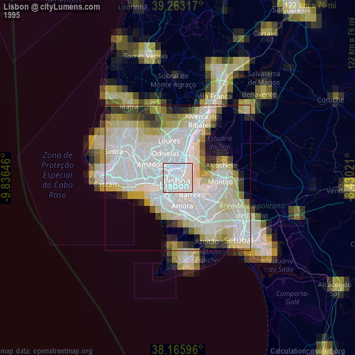
» NASA, Earths city lights 1995
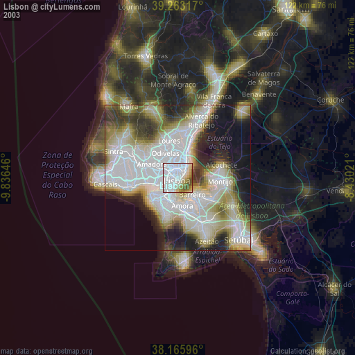
» NASA city lights 2003
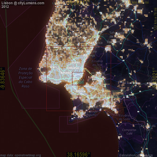
» Earth at Night: Flat Maps 2012, 2016
Src.2: Thomas Pesquet, Twitter/@Thom_astro, 2017-02-25